UN/LOCODE hub · United Kingdom
GBSYA
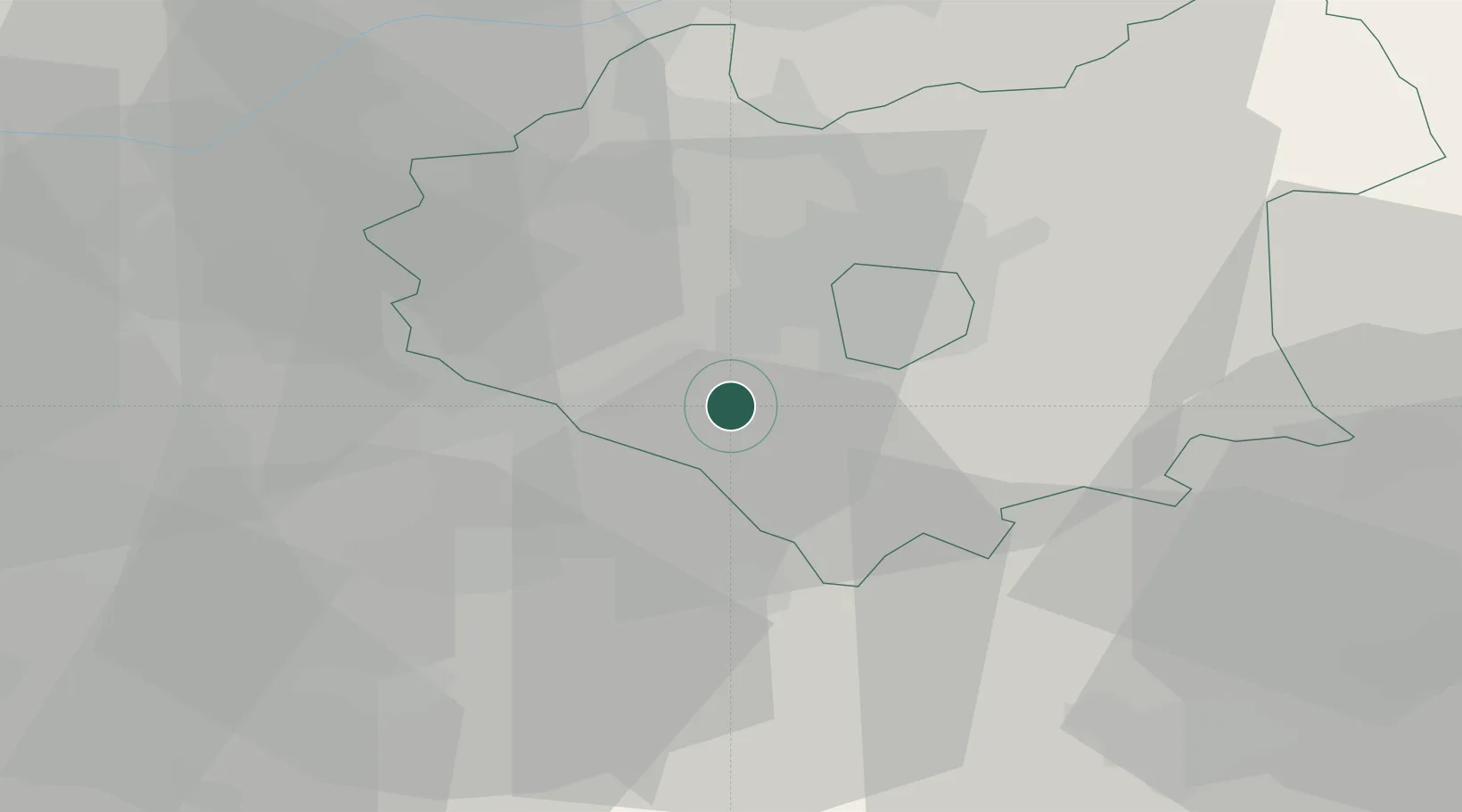
Stoney Stanton
52.5333°, -1.2667°
3,793
Population
2
Transport functions
Transport Functions
Road
Multimodal
Hub Profile
Place type
Populated place
Region
England
Population
3,793
Time zone
Europe/London
Elevation
96 m
Location
Nearby Logistics Neighbours
Cities
- 1Llantarnam2 km
- 2Hethel5 km
- 3Aylestone11 km
- 4Leicester11 km
- 5Barnacle14 km
Ports
- 1Wisbech97 km
- 2Boston97 km
- 3King's Lynn115 km
- 4Sharpness123 km
- 5Manchester125 km
Airports
- 1Coventry Airport23 km
- 2East Midlands Airport33 km
- 3Birmingham Airport34 km
- 4Nottingham City Airport45 km
- 5RAF Wittering54 km
DatabookThe Record of Consolidated Knowledge
United Kingdom beyond logistics?