Transport Functions
Port
Hub Profile
Region
GWN
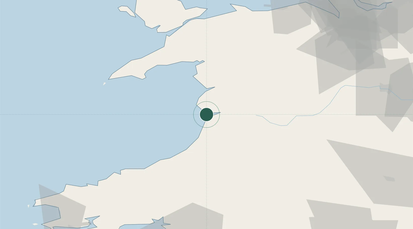
Location
Nearby Logistics Neighbours
Cities
- 1Aberdyfi (Aberdovey)2 km
- 2Aberystwyth13 km
- 3Barmouth (Abermaw)20 km
- 4Barmouth20 km
- 5Llanaber22 km
Ports
- 1Caernarvon70 km
- 2Fishguard86 km
- 3Holyhead96 km
- 4Neath101 km
- 5Mostyn102 km
Airports
- 1Anglesey Airport86 km
- 2RAF Shawbury98 km
- 3Haverfordwest Airport100 km
- 4Hawarden Airport102 km
- 5Swansea Airport104 km
Trade Zones
- 1Hereford Enterprise Zone108 km
- 2Cheshire Science Corridor111 km
- 3Mersey Waters Enterprise Zone119 km
- 4Ceramics Valley122 km
- 5Sci-Tech Daresbury Enterprise Zone131 km
DatabookThe Record of Consolidated Knowledge
United Kingdom beyond logistics?