UN/LOCODE hub · United Kingdom
GBLAB

Llanaber

52.7333°, -4.0833°
2
Transport functions

Transport Functions

Port
Road
UN/LOCODE

Hub Profile

Place type
Populated place
GeoNames
Region
Wales
GeoNames
Time zone
Europe/London
GeoNames
Elevation
21 m
GeoNames

Location

Location of GBLAB
Natural Earth 10m (public domain) · Wales · GBLAB · 52.73, -4.08GoogleOSMYandex

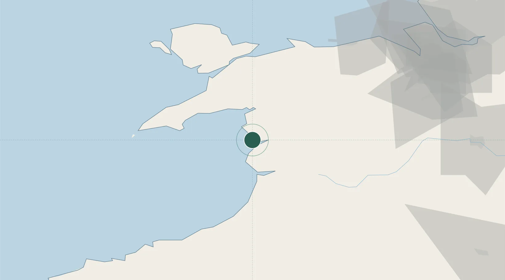
Nearby Logistics Neighbours

Cities
  1. 1Barmouth (Abermaw)3 km
  2. 2Barmouth3 km
  3. 3Portmeirion20 km
  4. 4Borth-y-Gest21 km
  5. 5Aberdyfi (Aberdovey)21 km
Nearest neighbours — logibook spatial index (haversine) over the source coordinates
Ports
  1. 1Caernarvon48 km
  2. 2Holyhead75 km
  3. 3Mostyn85 km
  4. 4Liverpool Bay Terminal96 km
  5. 5Fishguard100 km
Nearest neighbours — logibook spatial index (haversine) over the source coordinates
Airports
  1. 1Anglesey Airport65 km
  2. 2Hawarden Airport89 km
  3. 3RAF Shawbury96 km
  4. 4Liverpool John Lennon Airport106 km
  5. 5Haverfordwest Airport117 km
Nearest neighbours — logibook spatial index (haversine) over the source coordinates
Trade Zones
  1. 1Cheshire Science Corridor99 km
  2. 2Mersey Waters Enterprise Zone103 km
  3. 3Liverpool Free Zone115 km
  4. 4Sci-Tech Daresbury Enterprise Zone118 km
  5. 5Hereford Enterprise Zone123 km
Nearest neighbours — logibook spatial index (haversine) over the source coordinates
DatabookThe Record of Consolidated Knowledge
United Kingdom beyond logistics?
Browse databook

All Sources

LocationsUN/LOCODE
UN/LOCODE — free
Portsthe NGA World Port Index
Public domain (US gov)
AirportsOurAirports
Public domain
Trade Zonesthe World Bank SEZ database
CC BY 4.0
Trade ZonesOpen Zone Map
CC BY
← United Kingdom locations