UN/LOCODE hub · United Kingdom
GBBMU
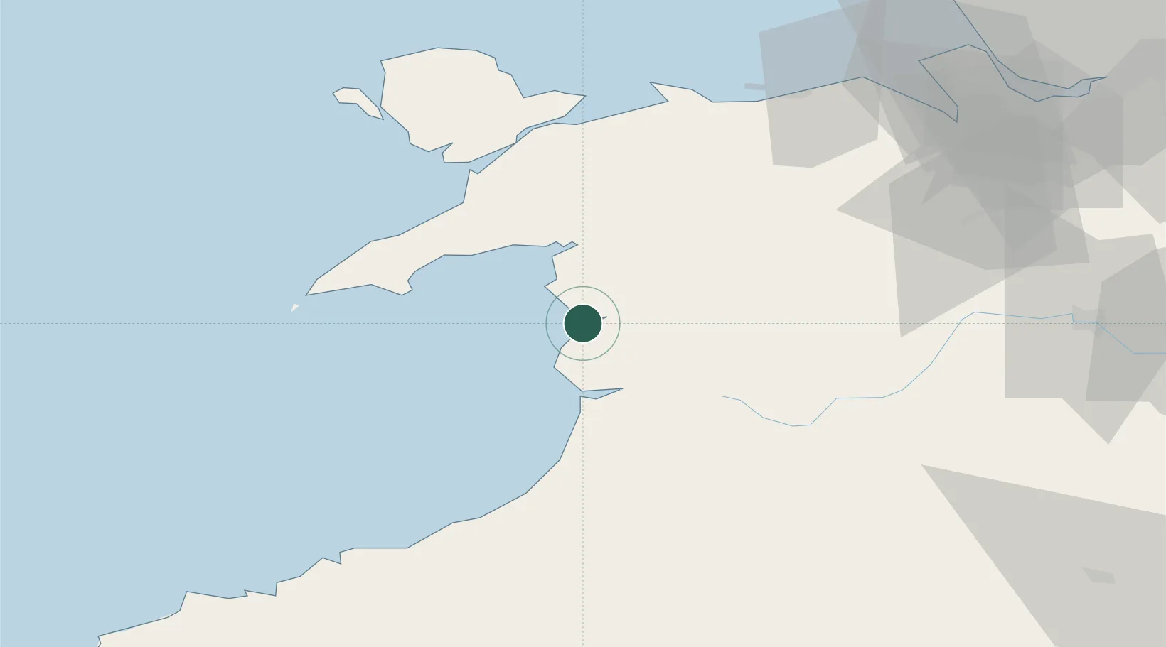
Barmouth
52.7167°, -4.0500°
2,315
Population
1
Transport functions
Transport Functions
Port
Hub Profile
Place type
Populated place
Region
Wales
Population
2,315
Time zone
Europe/London
Elevation
17 m
Location
Nearby Logistics Neighbours
Cities
- 1Barmouth (Abermaw)0 km
- 2Llanaber3 km
- 3Aberdyfi (Aberdovey)19 km
- 4Aberdovey20 km
- 5Portmeirion23 km
Ports
- 1Caernarvon50 km
- 2Holyhead77 km
- 3Mostyn85 km
- 4Liverpool Bay Terminal97 km
- 5Fishguard100 km
Airports
- 1Anglesey Airport67 km
- 2Hawarden Airport88 km
- 3RAF Shawbury93 km
- 4Liverpool John Lennon Airport106 km
- 5Haverfordwest Airport116 km
Trade Zones
- 1Cheshire Science Corridor99 km
- 2Mersey Waters Enterprise Zone103 km
- 3Liverpool Free Zone115 km
- 4Sci-Tech Daresbury Enterprise Zone117 km
- 5Hereford Enterprise Zone120 km
DatabookThe Record of Consolidated Knowledge
United Kingdom beyond logistics?