Transport Functions
Port
Rail
Road
Hub Profile
Region
GWN
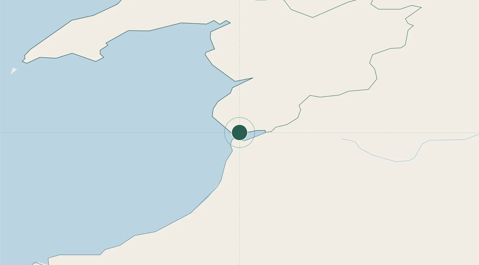
Location
Nearby Logistics Neighbours
Cities
- 1Aberdovey2 km
- 2Aberystwyth15 km
- 3Barmouth (Abermaw)19 km
- 4Barmouth19 km
- 5Llanaber21 km
Ports
- 1Caernarvon69 km
- 2Fishguard88 km
- 3Holyhead94 km
- 4Mostyn100 km
- 5Neath103 km
Airports
- 1Anglesey Airport85 km
- 2RAF Shawbury96 km
- 3Hawarden Airport100 km
- 4Haverfordwest Airport102 km
- 5Swansea Airport106 km
Trade Zones
- 1Hereford Enterprise Zone108 km
- 2Cheshire Science Corridor109 km
- 3Mersey Waters Enterprise Zone117 km
- 4Ceramics Valley122 km
- 5Sci-Tech Daresbury Enterprise Zone129 km
DatabookThe Record of Consolidated Knowledge
United Kingdom beyond logistics?