Export Processing Zone · São Tomé & Príncipe

São Tomé Airport Free Zone Inactive
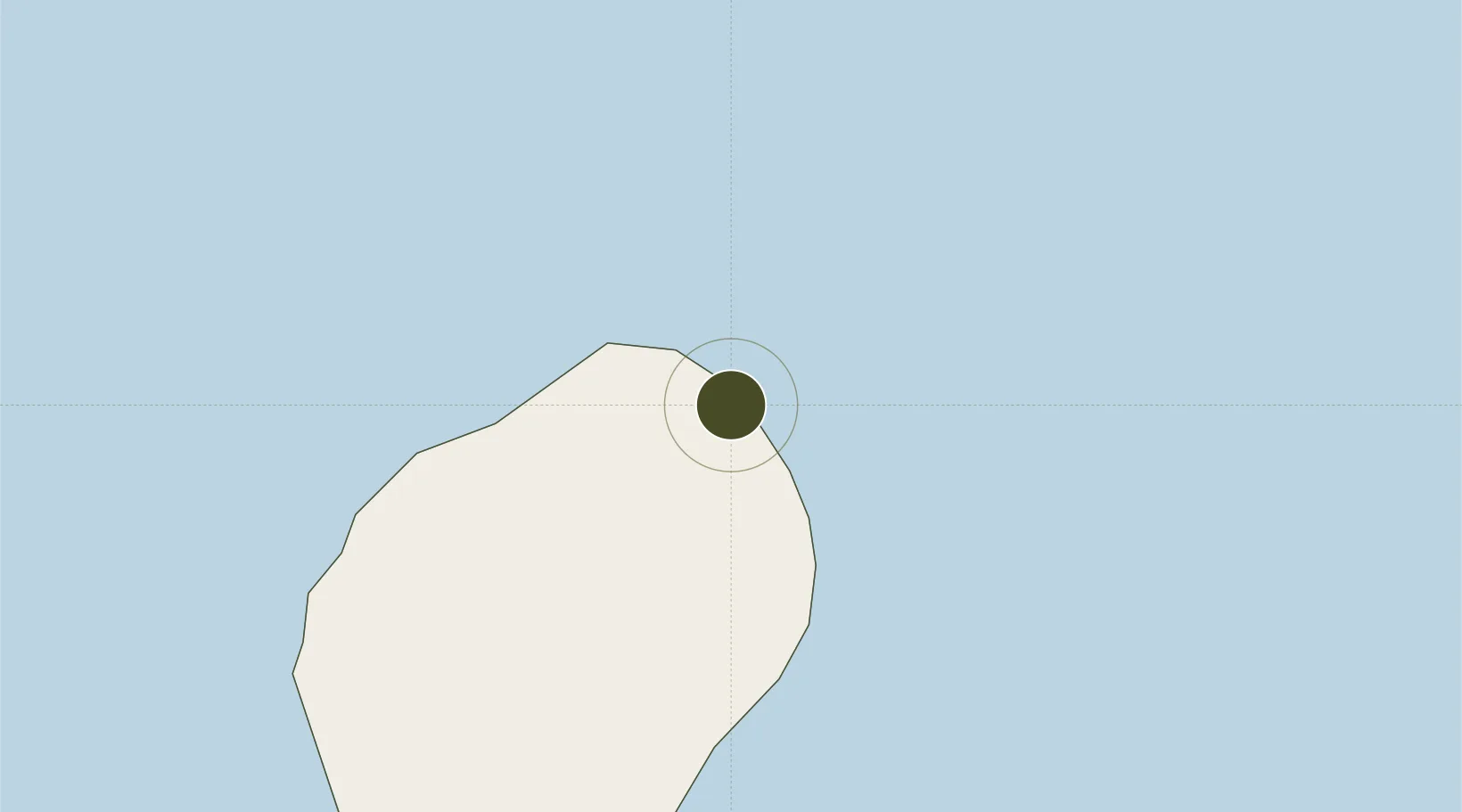
0.3755°, 6.7125°
50 ha
Zone area
3.7 km
Nearest port
0.3 km
Nearest airport

Gateway access

Nearest neighbours — logibook spatial index (haversine) over the source coordinates

Zone profile

Zone type
Export Processing Zone
Open Zone Map
Region
São Tomé
Open Zone Map
Status
Inactive
Open Zone Map
Management
Public
Open Zone Map
Operator
National Civil Aviation Authority
Open Zone Map
Legal framework
Decree no. 23/2019
Open Zone Map

Location

Location of ozm-4039
Natural Earth 10m (public domain) · São Tomé · ozm-4039 · 0.38, 6.71GoogleOSMYandex

Nearby Logistics Neighbours

Ports
  1. 1Sao Tome4 km
  2. 2Santo Antonio164 km
  3. 3Cap Lopez250 km
  4. 4Port Gentil261 km
  5. 5Libreville304 km
Nearest neighbours — logibook spatial index (haversine) over the source coordinates
Airports
  1. 1São Tomé International Airport0 km
  2. 2Principe Airport163 km
  3. 3Annobón Airport232 km
  4. 4Port Gentil International Airport257 km
  5. 5Corisco International Airport297 km
Nearest neighbours — logibook spatial index (haversine) over the source coordinates
Cities
  1. 1Port Gentil259 km
  2. 2Equata295 km
  3. 3Oso309 km
  4. 4Libreville309 km
  5. 5Owendo310 km
Nearest neighbours — logibook spatial index (haversine) over the source coordinates
Trade Zones
  1. 1Bunker Free Port17 km
  2. 2Malanza Free Zone41 km
  3. 3Baía das Agulhas Free Zone158 km
  4. 4Port-Gentil (Mandji) Special Economic Zone258 km
  5. 5Gabon New International Airport Free Zone300 km
Nearest neighbours — logibook spatial index (haversine) over the source coordinates
DatabookThe Record of Consolidated Knowledge
São Tomé & Príncipe beyond logistics?
Browse databook

All Sources

Trade ZonesOpen Zone Map
CC BY
Portsthe NGA World Port Index
Public domain (US gov)
AirportsOurAirports
Public domain
LocationsUN/LOCODE
UN/LOCODE — free
← São Tomé & Príncipe trade zones