Large airport · Cameroon
Yaoundé Nsimalen International AirportFKYS
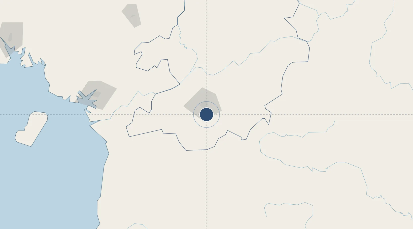
3.7226°, 11.5533°
11,155 ft
Longest runway
1
Runways
2,278 ft
Elevation
Runway & Layout

Radio Frequencies
TWR
119.1 MHz
APP
121.3 MHz
Navaids
NLY VOR-DME Yaounde Nsimalen 115.70 MHz
YNS NDB Yaounde Nsimalen 368 kHz
Runways · 1
| Runway | Dimensions | Surface | True heading | Lit |
|---|---|---|---|---|
| 01/19 | 11,155 × 148ft | Asphalt | 010° | ✓ |
Airport Specifications
IATA code
NSI
ICAO code
FKYS
Airport class
Large airport
Scheduled service
Yes
Runway surface
Asphalt
Served city
Yaoundé
Location
Nearby Logistics Neighbours
Airports
- 1Yaoundé Ville Airport13 km
- 2Bitam Airport183 km
- 3Douala International Airport206 km
- 4Foumban Nkounja Airport231 km
- 5President Obiang Nguema International Airport235 km
Ports
- 1Douala211 km
- 2Kome Kribi 1 Marine Terminal214 km
- 3Ebome Marine Terminal218 km
- 4Limboh Terminal268 km
- 5Bata286 km
Trade Zones
- 1Nsam-Mvan Industrial Zone11 km
- 2Port of Kribi Economic Zone203 km
- 3Bassa-Douala Industrial Zone203 km
- 4Bonaberi-Douala Industrial Zone211 km
- 5Banengo Industrial Zone231 km
DatabookThe Record of Consolidated Knowledge
Cameroon beyond logistics?