UN/LOCODE hub · France
FRZSR
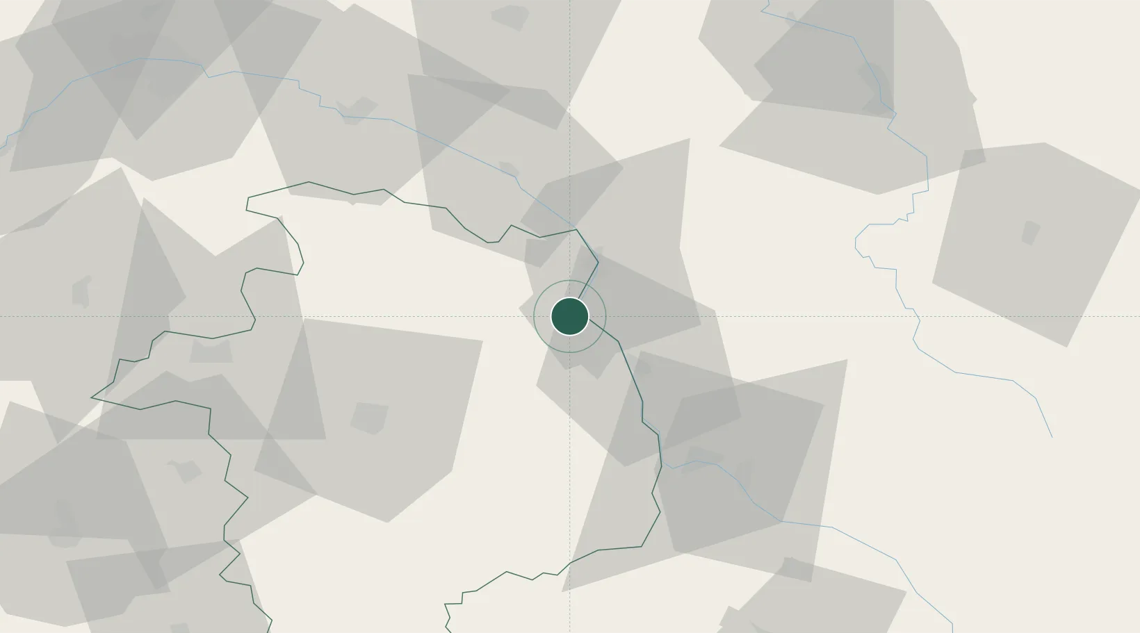
Ménétréol-sous-Sancerre
47.3167°, 2.8667°
362
Population
1
Transport functions
Transport Functions
Multimodal
Hub Profile
Place type
Populated place
Region
Centre-Val de Loire
Population
362
Time zone
Europe/Paris
Elevation
156 m
Location
Nearby Logistics Neighbours
Cities
- 1Thauvenay0 km
- 2Tracy-sur-Loire1 km
- 3Saint-Satur2 km
- 4Bué5 km
- 5Pouilly-sur-Loire7 km
Ports
- 1Port Of Rouen272 km
- 2Honfleur305 km
- 3Deauville307 km
- 4Port Of Le Havre315 km
- 5Port De Caen316 km
Airports
- 1Avord (BA 702) Air Base34 km
- 2Nevers-Fourchambault Airport40 km
- 3Bourges airport47 km
- 4Auxerre Branches airport76 km
- 5Châteauroux Déols airport100 km
Trade Zones
- 1ZFU Bourges49 km
- 2ZFU Orléans99 km
- 3ZFU Sens102 km
- 4ZFU Montereau-Fault-Yonne119 km
- 5ZFU Blois124 km
DatabookThe Record of Consolidated Knowledge
France beyond logistics?