Transport Functions
Port
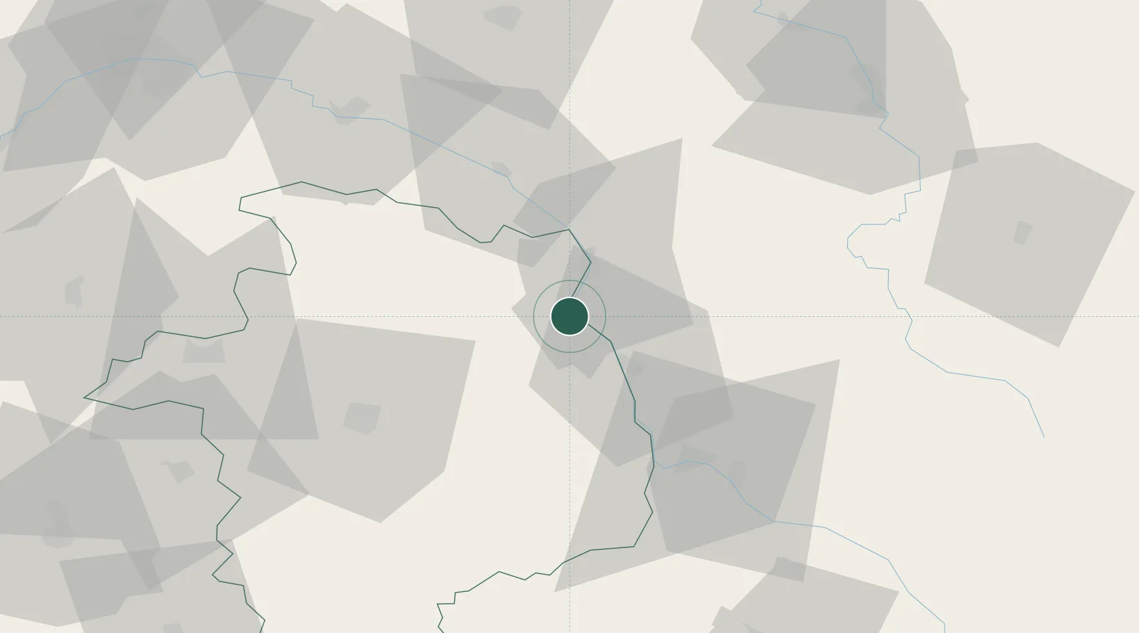
Hub Profile
Place type
Populated place
Region
Bourgogne
Population
946
Time zone
Europe/Paris
Elevation
159 m
Location
Nearby Logistics Neighbours
Cities
- 1Thauvenay1 km
- 2Ménétréol-sous-Sancerre1 km
- 3Saint-Satur3 km
- 4Pouilly-sur-Loire6 km
- 5Saint-Andelain6 km
Ports
- 1Port Of Rouen273 km
- 2Honfleur306 km
- 3Deauville308 km
- 4Port Of Le Havre316 km
- 5Port De Caen317 km
Airports
- 1Avord (BA 702) Air Base35 km
- 2Nevers-Fourchambault Airport39 km
- 3Bourges airport48 km
- 4Auxerre Branches airport75 km
- 5Châteauroux Déols airport101 km
Trade Zones
- 1ZFU Bourges50 km
- 2ZFU Orléans100 km
- 3ZFU Sens102 km
- 4ZFU Montereau-Fault-Yonne119 km
- 5ZFU Blois125 km
DatabookThe Record of Consolidated Knowledge
France beyond logistics?