UN/LOCODE hub · France
FRPKS
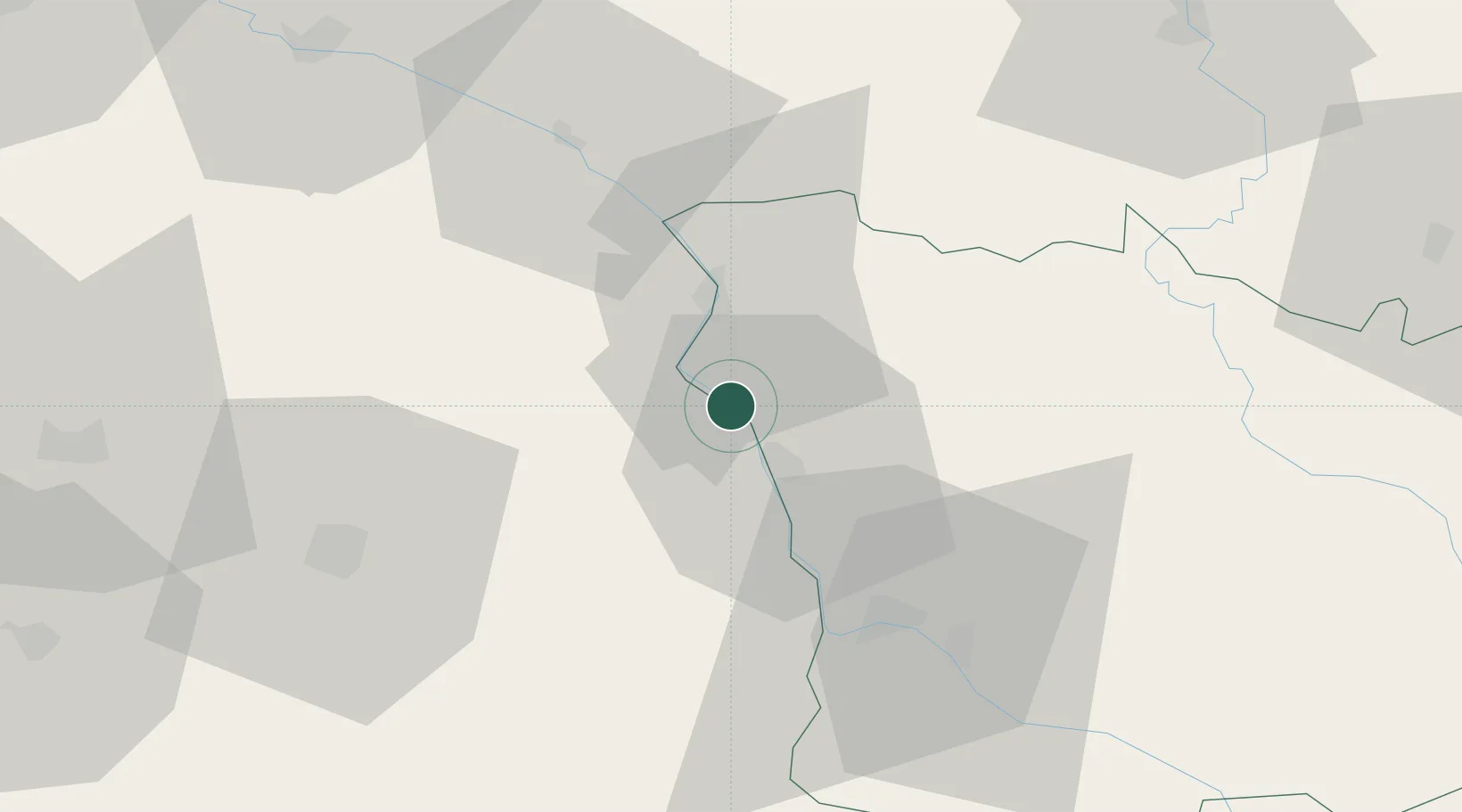
Pouilly-sur-Loire
47.2833°, 2.9500°
1,753
Population
3
Transport functions
Transport Functions
Port
Rail
Road
Hub Profile
Place type
Populated place
Region
Bourgogne
Population
1,753
Time zone
Europe/Paris
Elevation
166 m
Location
Nearby Logistics Neighbours
Cities
- 1Saint-Andelain4 km
- 2Tracy-sur-Loire6 km
- 3Thauvenay7 km
- 4Ménétréol-sous-Sancerre7 km
- 5Saint-Satur9 km
Ports
- 1Port Of Rouen278 km
- 2Honfleur312 km
- 3Deauville314 km
- 4Port Of Le Havre322 km
- 5Port De Caen323 km
Airports
- 1Nevers-Fourchambault Airport34 km
- 2Avord (BA 702) Air Base35 km
- 3Bourges airport50 km
- 4Auxerre Branches airport75 km
- 5Châteauroux Déols airport104 km
Trade Zones
- 1ZFU Bourges52 km
- 2ZFU Sens104 km
- 3ZFU Orléans106 km
- 4ZFU Montereau-Fault-Yonne123 km
- 5ZFU Blois131 km
DatabookThe Record of Consolidated Knowledge
France beyond logistics?