UN/LOCODE hub · France
FRZP9

Baye

47.8500°, -3.6000°
977
Population
1
Transport functions

Transport Functions

Multimodal
UN/LOCODE

Hub Profile

Place type
Populated place
GeoNames
Region
Brittany
GeoNames
Population
977
GeoNames
Time zone
Europe/Paris
GeoNames
Elevation
67 m
GeoNames

Location

Location of FRZP9
Natural Earth 10m (public domain) · Brittany · FRZP9 · 47.85, -3.60GoogleOSMYandex

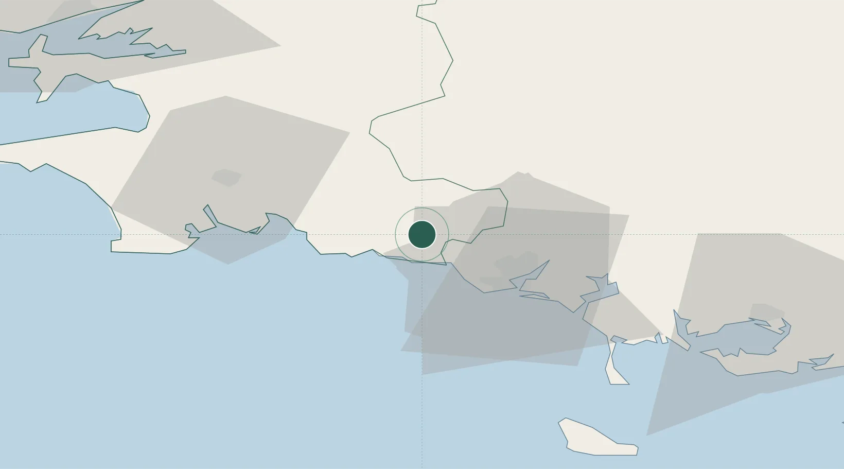
Nearby Logistics Neighbours

Cities
  1. 1Riec-sur-Bélon8 km
  2. 2Pont-Aven11 km
  3. 3Villy11 km
  4. 4Bannalec12 km
  5. 5Port Manec'h14 km
Nearest neighbours — logibook spatial index (haversine) over the source coordinates
Ports
  1. 1Lorient22 km
  2. 2Concarneau24 km
  3. 3Morlaix83 km
  4. 4Rade De Brest89 km
  5. 5Le Legue99 km
Nearest neighbours — logibook spatial index (haversine) over the source coordinates
Airports
  1. 1Lorient South Brittany (Bretagne Sud) Airport16 km
  2. 2Quimper-Cornouaille Airport45 km
  3. 3Aérodrome de Belle Île66 km
  4. 4Vannes-Meucon Airport67 km
  5. 5Lanvéoc-Poulmic Air Base79 km
Nearest neighbours — logibook spatial index (haversine) over the source coordinates
Trade Zones
  1. 1ZFU Saint-Nazaire118 km
  2. 2ZFU Nantes et Saint-Herblain159 km
  3. 3ZFU Angers229 km
  4. 4ZFU Cherbourg-Octeville244 km
  5. 5ZFU La Rochelle261 km
Nearest neighbours — logibook spatial index (haversine) over the source coordinates
DatabookThe Record of Consolidated Knowledge
France beyond logistics?
Browse databook

All Sources

LocationsUN/LOCODE
UN/LOCODE — free
LocationsGeoNames
CC BY 4.0
Portsthe NGA World Port Index
Public domain (US gov)
AirportsOurAirports
Public domain
Trade Zonesthe World Bank SEZ database
CC BY 4.0
Trade ZonesOpen Zone Map
CC BY
← France locations