UN/LOCODE hub · France
FRF29

Pont-Aven

47.8500°, -3.7500°
3,129
Population
2
Transport functions

Transport Functions

Port
Multimodal
UN/LOCODE

Hub Profile

Place type
Populated place
GeoNames
Region
Brittany
GeoNames
Population
3,129
GeoNames
Time zone
Europe/Paris
GeoNames
Elevation
10 m
GeoNames

Location

Location of FRF29
Natural Earth 10m (public domain) · Brittany · FRF29 · 47.85, -3.75GoogleOSMYandex

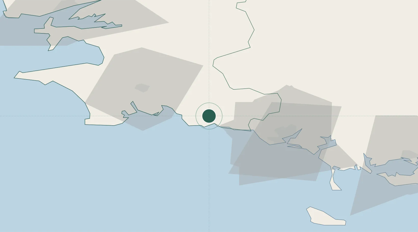
Nearby Logistics Neighbours

Cities
  1. 1Villy2 km
  2. 2Riec-sur-Bélon4 km
  3. 3Port Manec'h5 km
  4. 4Trégunc8 km
  5. 5Bannalec10 km
Nearest neighbours — logibook spatial index (haversine) over the source coordinates
Ports
  1. 1Concarneau13 km
  2. 2Lorient32 km
  3. 3Rade De Brest81 km
  4. 4Morlaix82 km
  5. 5Port De Roscoff-Bloscon100 km
Nearest neighbours — logibook spatial index (haversine) over the source coordinates
Airports
  1. 1Lorient South Brittany (Bretagne Sud) Airport25 km
  2. 2Quimper-Cornouaille Airport34 km
  3. 3Lanvéoc-Poulmic Air Base71 km
  4. 4Aérodrome de Belle Île71 km
  5. 5Vannes-Meucon Airport78 km
Nearest neighbours — logibook spatial index (haversine) over the source coordinates
Trade Zones
  1. 1ZFU Saint-Nazaire128 km
  2. 2ZFU Nantes et Saint-Herblain169 km
  3. 3ZFU Angers240 km
  4. 4ZFU Cherbourg-Octeville251 km
  5. 5ZFU La Rochelle269 km
Nearest neighbours — logibook spatial index (haversine) over the source coordinates
DatabookThe Record of Consolidated Knowledge
France beyond logistics?
Browse databook

All Sources

LocationsUN/LOCODE
UN/LOCODE — free
LocationsGeoNames
CC BY 4.0
Portsthe NGA World Port Index
Public domain (US gov)
AirportsOurAirports
Public domain
Trade Zonesthe World Bank SEZ database
CC BY 4.0
Trade ZonesOpen Zone Map
CC BY
← France locations