Transport Functions
Port
Road
Hub Profile
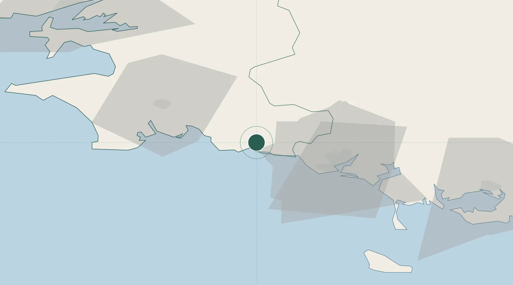
Place type
Populated place
Region
Brittany
Population
4,230
Time zone
Europe/Paris
Elevation
27 m
Location
Nearby Logistics Neighbours
Cities
- 1Pont-Aven4 km
- 2Villy5 km
- 3Port Manec'h7 km
- 4Baye8 km
- 5Bannalec11 km
Ports
- 1Concarneau17 km
- 2Lorient28 km
- 3Morlaix84 km
- 4Rade De Brest85 km
- 5Port De Roscoff-Bloscon102 km
Airports
Trade Zones
- 1ZFU Saint-Nazaire124 km
- 2ZFU Nantes et Saint-Herblain165 km
- 3ZFU Angers236 km
- 4ZFU Cherbourg-Octeville250 km
- 5ZFU La Rochelle265 km
DatabookThe Record of Consolidated Knowledge
France beyond logistics?