Transport Functions
Multimodal
Hub Profile
Place type
Populated place
Region
Nouvelle-Aquitaine
Population
1,176
Time zone
Europe/Paris
Elevation
477 m
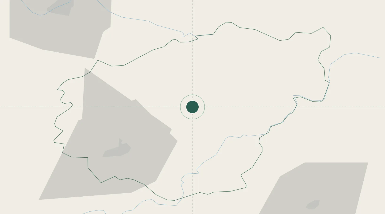
Location
Nearby Logistics Neighbours
Cities
- 1Eyrein6 km
- 2Davignac21 km
- 3Saint-Bonnet-Elvert22 km
- 4Saint-Germain-les-Vergnes23 km
- 5Vigeois29 km
Ports
- 1Ambes193 km
- 2Bordeaux200 km
- 3Blaye201 km
- 4Pauillac207 km
- 5Tonnay Charente225 km
Airports
- 1Brive Souillac airport48 km
- 2Aurillac airport68 km
- 3Limoges Airport78 km
- 4Périgueux-Bassillac Airport86 km
- 5Montluçon-Guéret Airport102 km
Trade Zones
- 1ZFU Clermont-Ferrand104 km
- 2ZFU Bourges193 km
- 3Port de Bordeaux196 km
- 4ZFU Toulouse199 km
- 5ZFU Hauts de Garonne202 km
DatabookThe Record of Consolidated Knowledge
France beyond logistics?