Medium airport · France
Limoges AirportLFBL
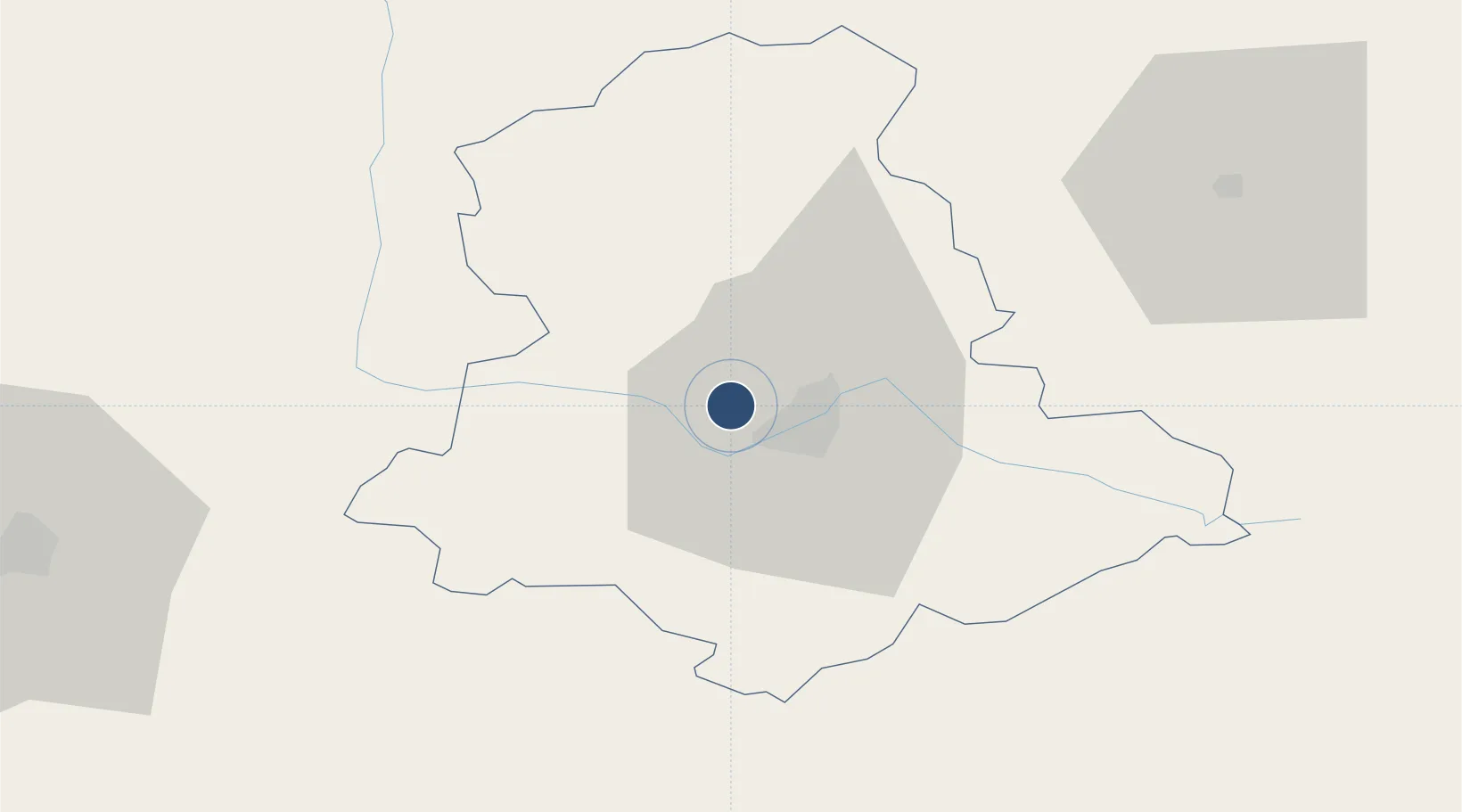
45.8628°, 1.1794°
8,202 ft
Longest runway
1
Runways
1,300 ft
Elevation
Runway & Layout

Radio Frequencies
ATIS
128.075 MHz
TWR
118.7 MHz
LIMOGES TWR
APP
119.2 MHz
LIMOGES APP
INFO
124.05 MHz
LIMOGES INFO
Navaids
LMG VOR-DME Limoges 114.50 MHz
Runways · 1
| Runway | Dimensions | Surface | True heading | Lit |
|---|---|---|---|---|
| 03/21 | 8,202 × 148ft | Asphalt | 034° | ✓ |
Airport Specifications
IATA code
LIG
ICAO code
LFBL
Airport class
Medium airport
Scheduled service
Yes
Runway surface
Asphalt
Served city
Limoges/Bellegarde
Location
Nearby Logistics Neighbours
Airports
- 1Angoulême Brie-Champniers airport76 km
- 2Périgueux-Bassillac Airport79 km
- 3Brive Souillac airport95 km
- 4Montluçon-Guéret Airport100 km
- 5Poitiers-Biard Airport105 km
Cities
- 1Verneuil-sur-Vienne4 km
- 2Limoges8 km
- 3Isle8 km
- 4Aixe-sur-Vienne8 km
- 5Nantiat17 km
Ports
- 1Tonnay Charente161 km
- 2Ambes163 km
- 3Rochefort165 km
- 4Blaye165 km
- 5Pauillac167 km
Trade Zones
- 1ZFU Clermont-Ferrand147 km
- 2ZFU Bourges161 km
- 3Port de Bordeaux171 km
- 4ZFU Hauts de Garonne179 km
- 5ZFU La Rochelle188 km
DatabookThe Record of Consolidated Knowledge
France beyond logistics?