Transport Functions
Port
Hub Profile
Place type
Populated place
Region
Nouvelle-Aquitaine
Population
516
Time zone
Europe/Paris
Elevation
565 m
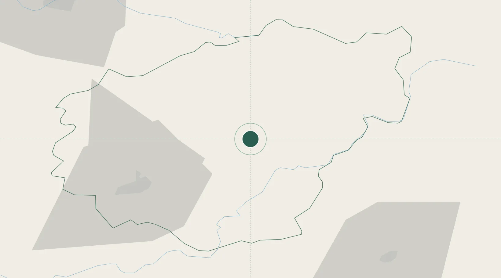
Location
Nearby Logistics Neighbours
Cities
- 1Corrèze6 km
- 2Saint-Bonnet-Elvert19 km
- 3Davignac20 km
- 4Saint-Germain-les-Vergnes26 km
- 5Glandon31 km
Ports
- 1Ambes198 km
- 2Bordeaux204 km
- 3Blaye206 km
- 4Pauillac212 km
- 5Tonnay Charente231 km
Airports
- 1Brive Souillac airport49 km
- 2Aurillac airport62 km
- 3Limoges Airport84 km
- 4Périgueux-Bassillac Airport90 km
- 5Montluçon-Guéret Airport104 km
Trade Zones
- 1ZFU Clermont-Ferrand101 km
- 2ZFU Bourges196 km
- 3ZFU Toulouse196 km
- 4Port de Bordeaux201 km
- 5ZFU Hauts de Garonne206 km
DatabookThe Record of Consolidated Knowledge
France beyond logistics?