UN/LOCODE hub · France
FRJXY
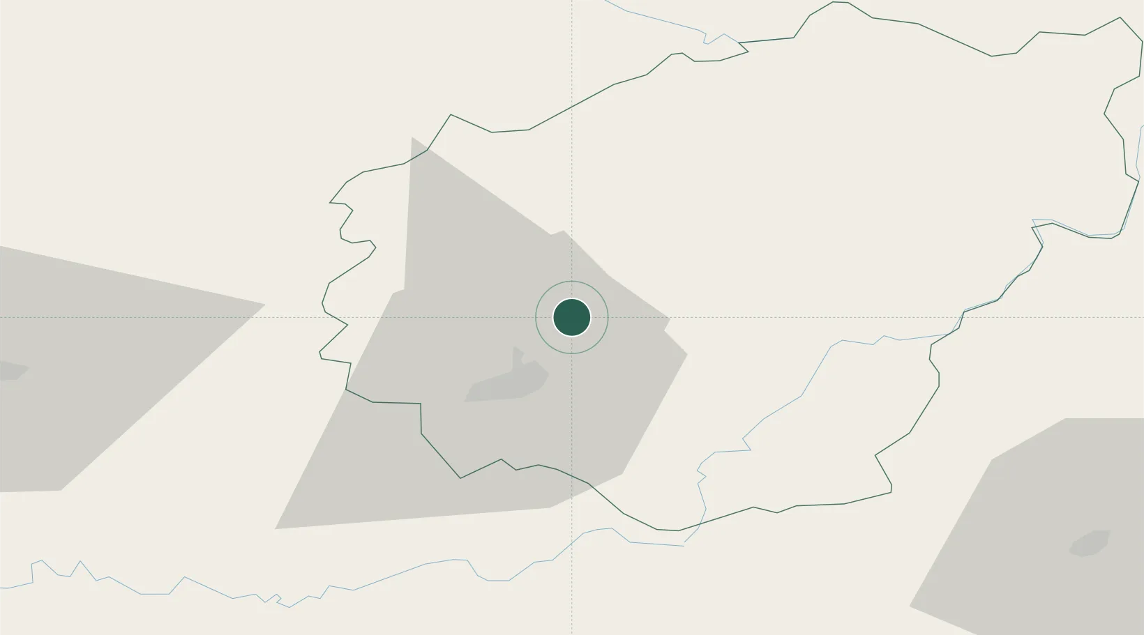
Saint-Germain-les-Vergnes
45.2667°, 1.6333°
868
Population
1
Transport functions
Transport Functions
Multimodal
Hub Profile
Place type
Populated place
Region
Nouvelle-Aquitaine
Population
868
Time zone
Europe/Paris
Elevation
379 m
Location
Nearby Logistics Neighbours
Cities
- 1Donzenac9 km
- 2Brive-la-Gaillarde15 km
- 3Cosnac15 km
- 4Vigeois16 km
- 5Corrèze23 km
Ports
- 1Ambes172 km
- 2Bordeaux178 km
- 3Blaye181 km
- 4Pauillac187 km
- 5Tonnay Charente211 km
Airports
- 1Brive Souillac airport28 km
- 2Périgueux-Bassillac Airport65 km
- 3Aurillac airport75 km
- 4Limoges Airport75 km
- 5Bergerac Dordogne-Périgord airport100 km
Trade Zones
- 1ZFU Clermont-Ferrand127 km
- 2Port de Bordeaux175 km
- 3ZFU Hauts de Garonne180 km
- 4ZFU Toulouse185 km
- 5ZFU Bourges208 km
DatabookThe Record of Consolidated Knowledge
France beyond logistics?