Transport Functions
Multimodal
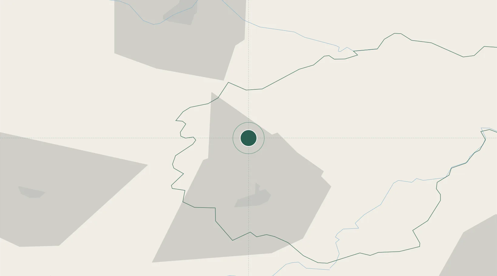
Hub Profile
Place type
Populated place
Region
Nouvelle-Aquitaine
Population
1,223
Time zone
Europe/Paris
Elevation
316 m
Location
Nearby Logistics Neighbours
Cities
- 1Saint-Germain-les-Vergnes16 km
- 2Donzenac17 km
- 3Meuzac20 km
- 4Perpezac-le-Blanc23 km
- 5Brive-la-Gaillarde26 km
Ports
- 1Ambes166 km
- 2Blaye173 km
- 3Bordeaux173 km
- 4Pauillac179 km
- 5Tonnay Charente198 km
Airports
- 1Brive Souillac airport38 km
- 2Périgueux-Bassillac Airport59 km
- 3Limoges Airport59 km
- 4Aurillac airport90 km
- 5Bergerac Dordogne-Périgord airport100 km
Trade Zones
- 1ZFU Clermont-Ferrand130 km
- 2Port de Bordeaux169 km
- 3ZFU Hauts de Garonne176 km
- 4ZFU Toulouse198 km
- 5ZFU Bourges199 km
DatabookThe Record of Consolidated Knowledge
France beyond logistics?