Transport Functions
Multimodal
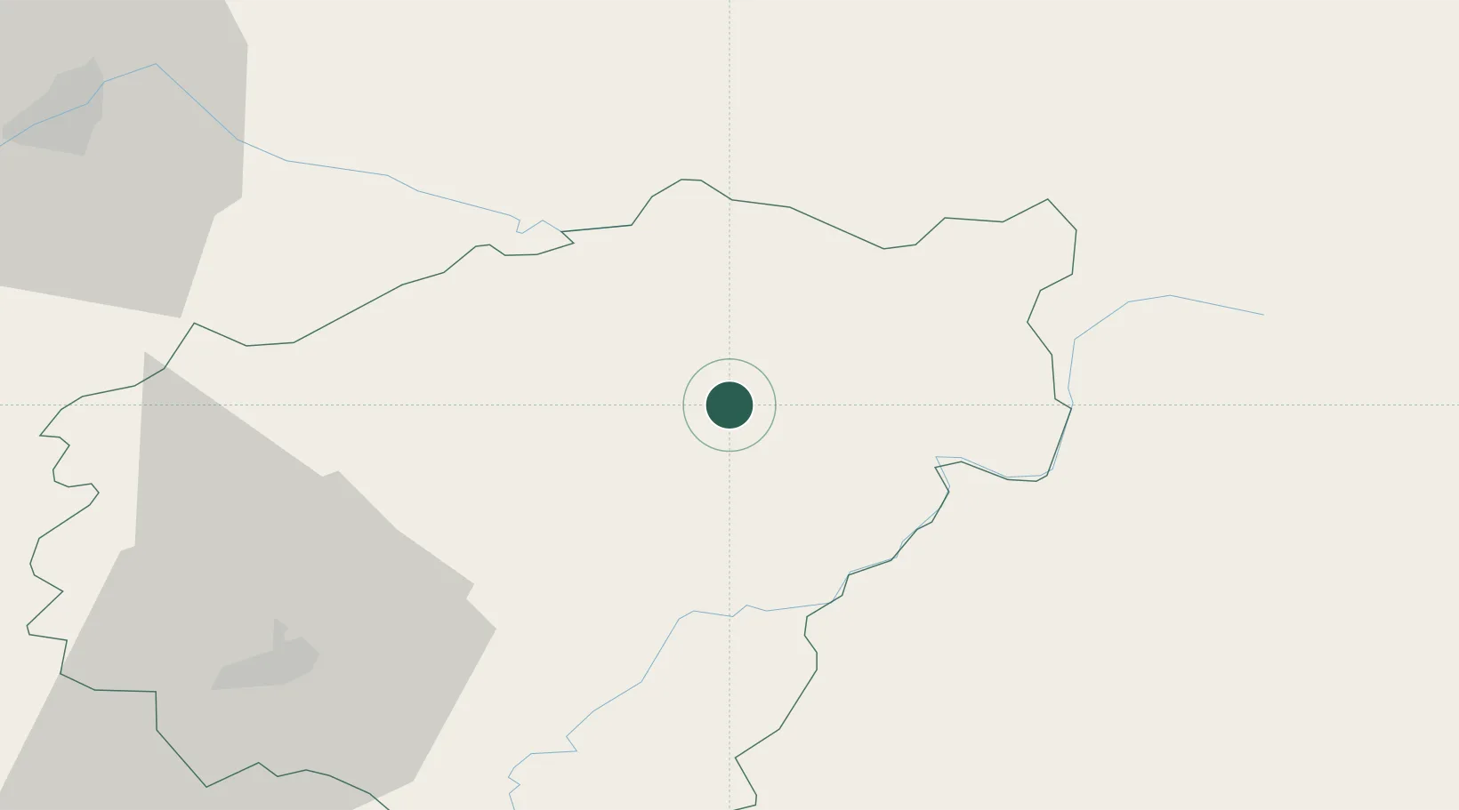
Hub Profile
Place type
Populated place
Region
Nouvelle-Aquitaine
Population
277
Time zone
Europe/Paris
Elevation
655 m
Location
Nearby Logistics Neighbours
Cities
- 1Glandon12 km
- 2Eyrein20 km
- 3Corrèze21 km
- 4Marly25 km
- 5Saint-Bonnet-Elvert38 km
Ports
- 1Ambes213 km
- 2Blaye220 km
- 3Bordeaux220 km
- 4Pauillac225 km
- 5Tonnay Charente238 km
Airports
- 1Brive Souillac airport69 km
- 2Aurillac airport71 km
- 3Limoges Airport83 km
- 4Montluçon-Guéret Airport85 km
- 5Clermont-Ferrand Auvergne airport90 km
Trade Zones
- 1ZFU Clermont-Ferrand83 km
- 2ZFU Saint-Etienne171 km
- 3ZFU Bourges178 km
- 4ZFU Lyon 9e213 km
- 5ZFU Vénissieux215 km
DatabookThe Record of Consolidated Knowledge
France beyond logistics?