UN/LOCODE hub · France
FRBE2
Saint-Bonnet-Elvert
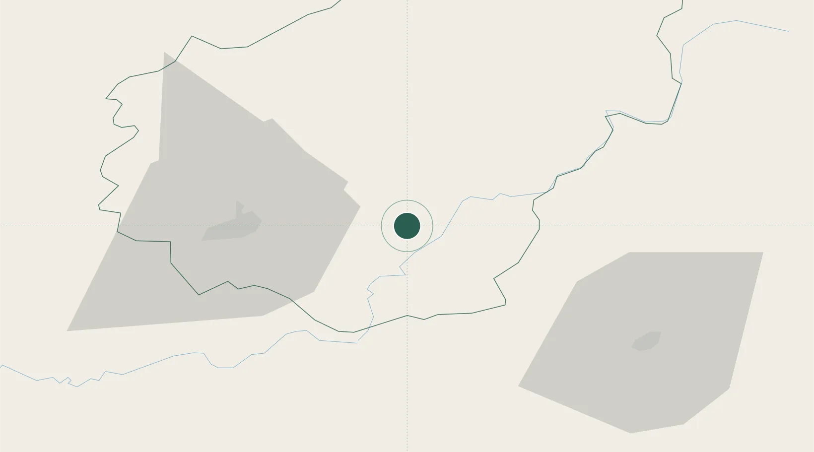
45.1667°, 1.9167°
171
Population
1
Transport functions
Transport Functions
Multimodal
Hub Profile
Place type
Populated place
Region
Nouvelle-Aquitaine
Population
171
Time zone
Europe/Paris
Elevation
523 m
Location
Nearby Logistics Neighbours
Cities
- 1Eyrein19 km
- 2Corrèze22 km
- 3Collonges-la-Rouge25 km
- 4Saint-Germain-les-Vergnes25 km
- 5Cosnac26 km
Ports
- 1Ambes193 km
- 2Bordeaux198 km
- 3Blaye203 km
- 4Pauillac209 km
- 5Tonnay Charente235 km
Airports
- 1Brive Souillac airport37 km
- 2Aurillac airport50 km
- 3Périgueux-Bassillac Airport86 km
- 4Rodez–Aveyron Airport96 km
- 5Limoges Airport96 km
Trade Zones
- 1ZFU Clermont-Ferrand114 km
- 2ZFU Toulouse178 km
- 3Port de Bordeaux195 km
- 4ZFU Hauts de Garonne200 km
- 5ZFU Bourges215 km
DatabookThe Record of Consolidated Knowledge
France beyond logistics?