Medium airport · France

Périgueux-Bassillac AirportLFBX
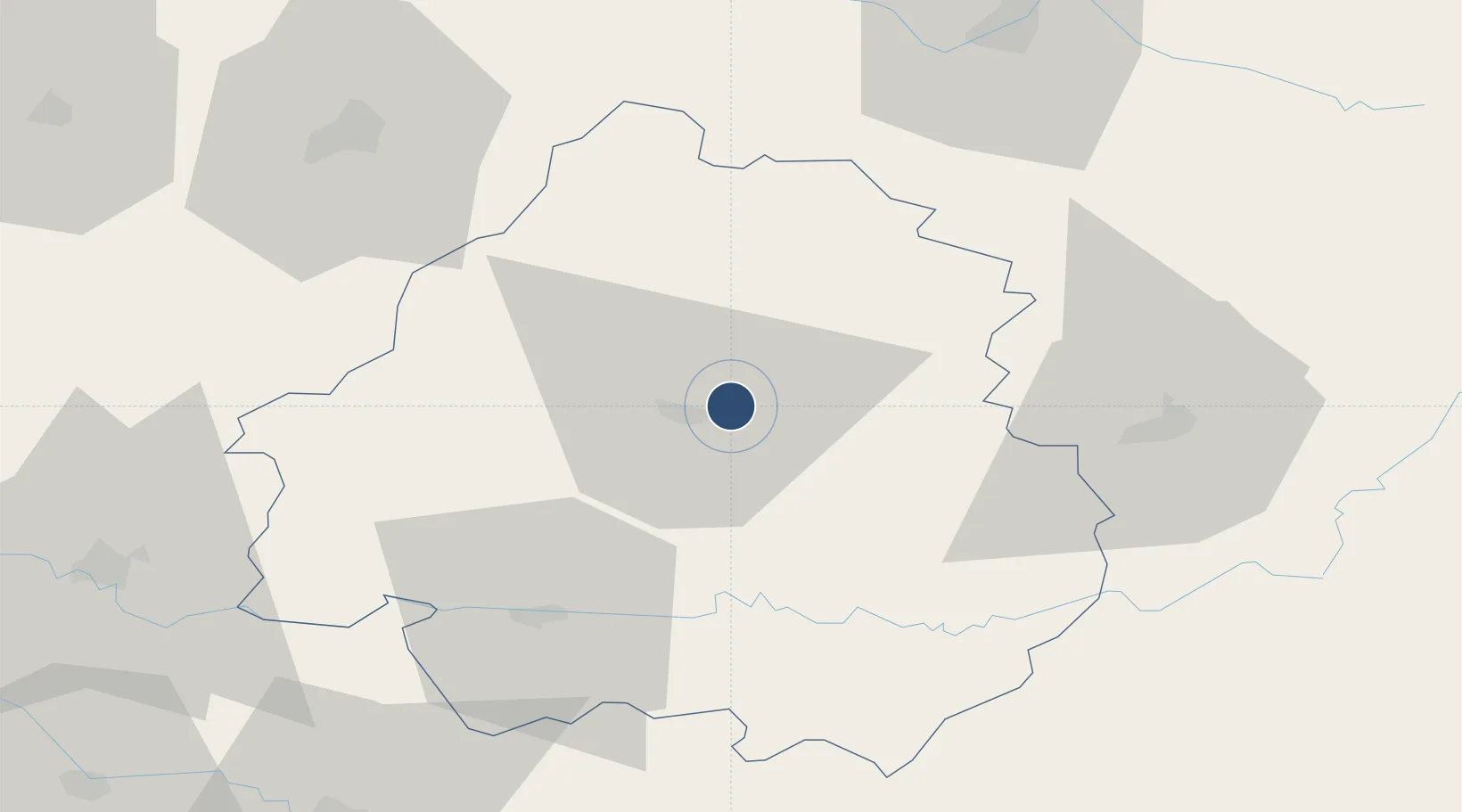
45.1981°, 0.8156°
5,741 ft
Longest runway
1
Runways
328 ft
Elevation

Runway & Layout

Périgueux-Bassillac Airport runway & taxiway layout
Runway & taxiway layout — OpenStreetMap (ODbL) / OurAirports

Radio Frequencies

APP
119.275 MHz
AQUITAINE APP
AFIS
118.775 MHz
PERIGUEUX INFO
OurAirports

Runways · 1

RunwayDimensions SurfaceTrue headingLit
11/29 5,741 × 98ft Asphalt 114°
OurAirports

Airport Specifications

IATA code
PGX
OurAirports
ICAO code
LFBX
OurAirports
Airport class
Medium airport
OurAirports
Scheduled service
No
OurAirports
Runway surface
Asphalt
OurAirports
Served city
Périgueux/Bassillac
OurAirports

Location

Location of LFBX
Natural Earth 10m (public domain) · Dordogne · LFBX · 45.20, 0.82GoogleOSMYandex

Nearby Logistics Neighbours

Airports
  1. 1Bergerac Dordogne-Périgord airport48 km
  2. 2Brive Souillac airport55 km
  3. 3Angoulême Brie-Champniers airport75 km
  4. 4Limoges Airport79 km
  5. 5Cognac-Châteaubernard (BA 709) Air Base102 km
Nearest neighbours — logibook spatial index (haversine) over the source coordinates
Cities
  1. 1Trélissac3 km
  2. 2Montmoreau4 km
  3. 3Boulazac5 km
  4. 4Périgueux8 km
  5. 5Chancelade12 km
Nearest neighbours — logibook spatial index (haversine) over the source coordinates
Ports
  1. 1Ambes108 km
  2. 2Bordeaux115 km
  3. 3Blaye116 km
  4. 4Pauillac123 km
  5. 5Le Verdon151 km
Nearest neighbours — logibook spatial index (haversine) over the source coordinates
Trade Zones
  1. 1Port de Bordeaux111 km
  2. 2ZFU Hauts de Garonne117 km
  3. 3ZFU Toulouse184 km
  4. 4ZFU Clermont-Ferrand188 km
  5. 5ZFU La Rochelle191 km
Nearest neighbours — logibook spatial index (haversine) over the source coordinates
DatabookThe Record of Consolidated Knowledge
France beyond logistics?
Browse databook

All Sources

AirportsOurAirports
Public domain
Portsthe NGA World Port Index
Public domain (US gov)
LocationsUN/LOCODE
UN/LOCODE — free
Trade Zonesthe World Bank SEZ database
CC BY 4.0
Trade ZonesOpen Zone Map
CC BY
InfrastructureOpenStreetMap
ODbL 1.0
← France airports