UN/LOCODE hub · France
FRZLO
Mailley-et-Chazelot
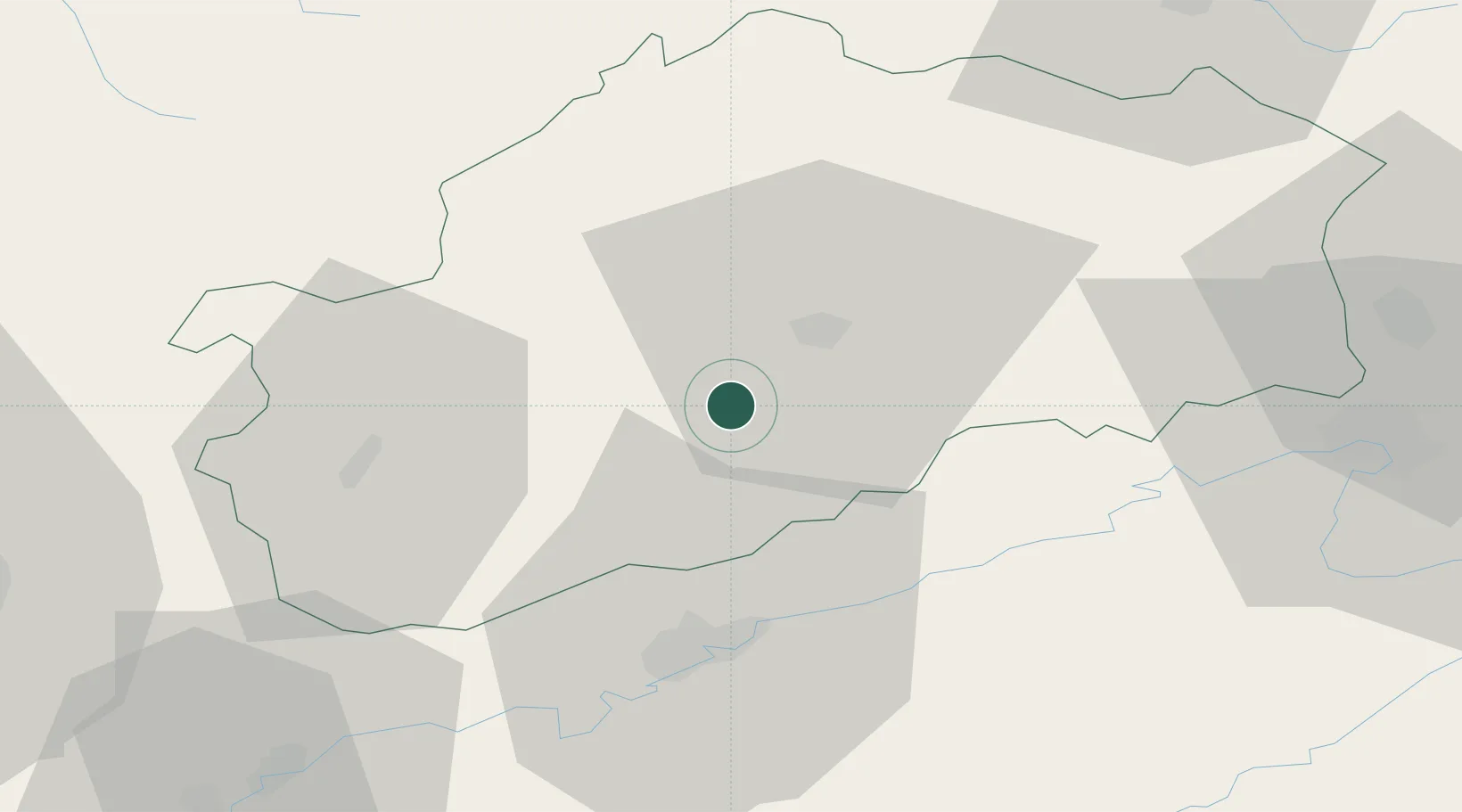
47.5333°, 6.0500°
587
Population
1
Transport functions
Transport Functions
Multimodal
Hub Profile
Place type
Populated place
Region
Bourgogne
Population
587
Time zone
Europe/Paris
Elevation
289 m
Location
Nearby Logistics Neighbours
Cities
- 1Rosey4 km
- 2Noidans-le-Ferroux8 km
- 3Montigny-lès-Vesoul11 km
- 4Vaivre-et-Montoille12 km
- 5Vesoul12 km
Ports
- 1Bruxelles391 km
- 2Savona405 km
- 3Rada Di Vado408 km
- 4Genova413 km
- 5Antwerpen427 km
Airports
Trade Zones
- 1ZFU Besancon33 km
- 2ZFU Montbéliard55 km
- 3ZFU Belfort58 km
- 4ZFU Chenôve85 km
- 5ZFU Mulhouse99 km
DatabookThe Record of Consolidated Knowledge
France beyond logistics?