UN/LOCODE hub · France
FRVRQ
Vaivre-et-Montoille
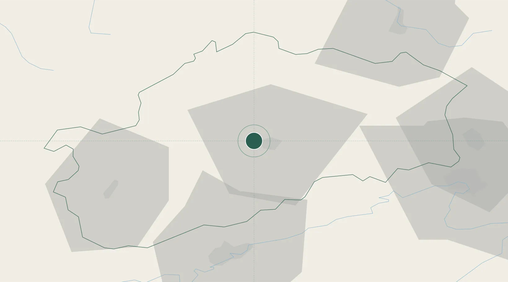
47.6333°, 6.1000°
2,423
Population
2
Transport functions
Transport Functions
Road
Multimodal
Hub Profile
Place type
Populated place
Region
Bourgogne
Population
2,423
Time zone
Europe/Paris
Elevation
227 m
Location
Nearby Logistics Neighbours
Cities
- 1Montigny-lès-Vesoul3 km
- 2Vesoul4 km
- 3Rosey9 km
- 4Mailley-et-Chazelot12 km
- 5Noidans-le-Ferroux14 km
Ports
- 1Bruxelles381 km
- 2Savona413 km
- 3Rada Di Vado416 km
- 4Antwerpen417 km
- 5Ghent418 km
Airports
Trade Zones
- 1ZFU Besancon45 km
- 2ZFU Belfort53 km
- 3ZFU Montbéliard54 km
- 4ZFU Chenôve92 km
- 5ZFU Mulhouse93 km
DatabookThe Record of Consolidated Knowledge
France beyond logistics?