Medium airport · Switzerland
Les Eplatures AirportLSGC
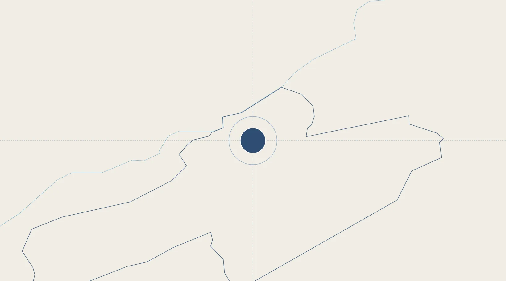
47.0839°, 6.7928°
3,707 ft
Longest runway
1
Runways
3,368 ft
Elevation
Runway & Layout

Radio Frequencies
TWR
118.125 MHz
Runways · 1
| Runway | Dimensions | Surface | True heading | Lit |
|---|---|---|---|---|
| 05/23 | 3,707 × 89ft | Asphalt | 054° | ✓ |
Airport Specifications
ICAO code
LSGC
Airport class
Medium airport
Scheduled service
No
Runway surface
Asphalt
Served city
La Chaux-de-Fonds
Location
Nearby Logistics Neighbours
Airports
- 1Payerne Air Base28 km
- 2Montbéliard-Courcelles Airfield45 km
- 3Grenchen Airfield49 km
- 4Bern Airport57 km
- 5Vesoul-Frotey Airfield76 km
Cities
- 1Le Crêt-du-Locle2 km
- 2La Sagne4 km
- 3La Chaux-de-Fonds7 km
- 4Le Russey10 km
- 5Montlebon15 km
Ports
- 1Savona335 km
- 2Rada Di Vado339 km
- 3Genova341 km
- 4Chiavari - Lavagna366 km
- 5Imperia369 km
Trade Zones
- 1PESA - Port-Franc et Entrepôts de Lausanne-Chavornay SA45 km
- 2ZFU Montbéliard47 km
- 3ZFU Besancon62 km
- 4ZFU Belfort63 km
- 5Port Franc Vevey71 km
DatabookThe Record of Consolidated Knowledge
Switzerland beyond logistics?