UN/LOCODE hub · France
FRIYV
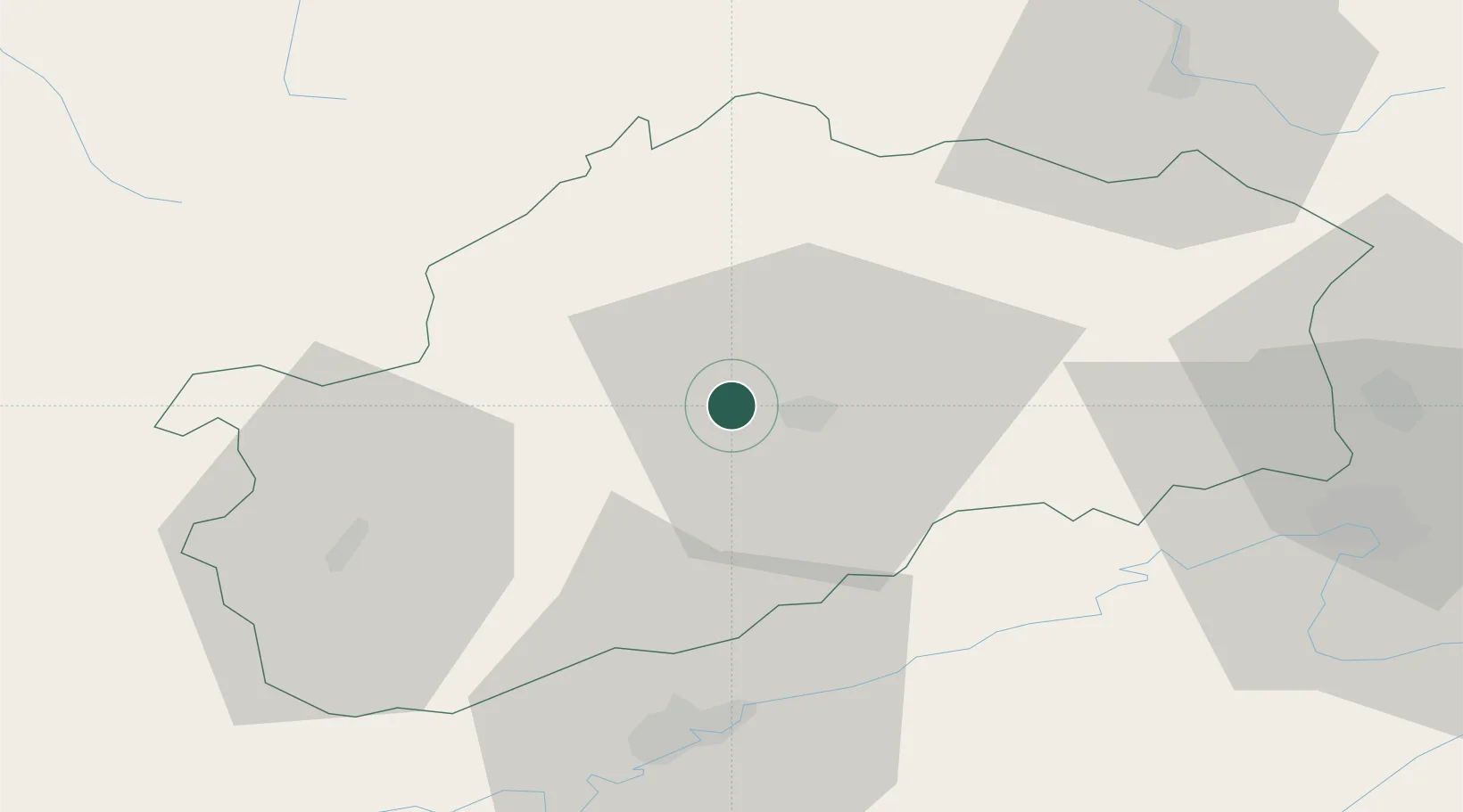
Montigny-lès-Vesoul
47.6333°, 6.0667°
555
Population
2
Transport functions
Transport Functions
Rail
Road
Hub Profile
Place type
Populated place
Region
Bourgogne
Population
555
Time zone
Europe/Paris
Elevation
230 m
Location
Nearby Logistics Neighbours
Cities
- 1Vaivre-et-Montoille3 km
- 2Vesoul7 km
- 3Rosey8 km
- 4Mailley-et-Chazelot11 km
- 5Noidans-le-Ferroux12 km
Ports
- 1Bruxelles381 km
- 2Savona414 km
- 3Antwerpen416 km
- 4Ghent418 km
- 5Rada Di Vado418 km
Airports
Trade Zones
- 1ZFU Besancon44 km
- 2ZFU Belfort55 km
- 3ZFU Montbéliard56 km
- 4ZFU Chenôve90 km
- 5ZFU Mulhouse96 km
DatabookThe Record of Consolidated Knowledge
France beyond logistics?