Transport Functions
Multimodal
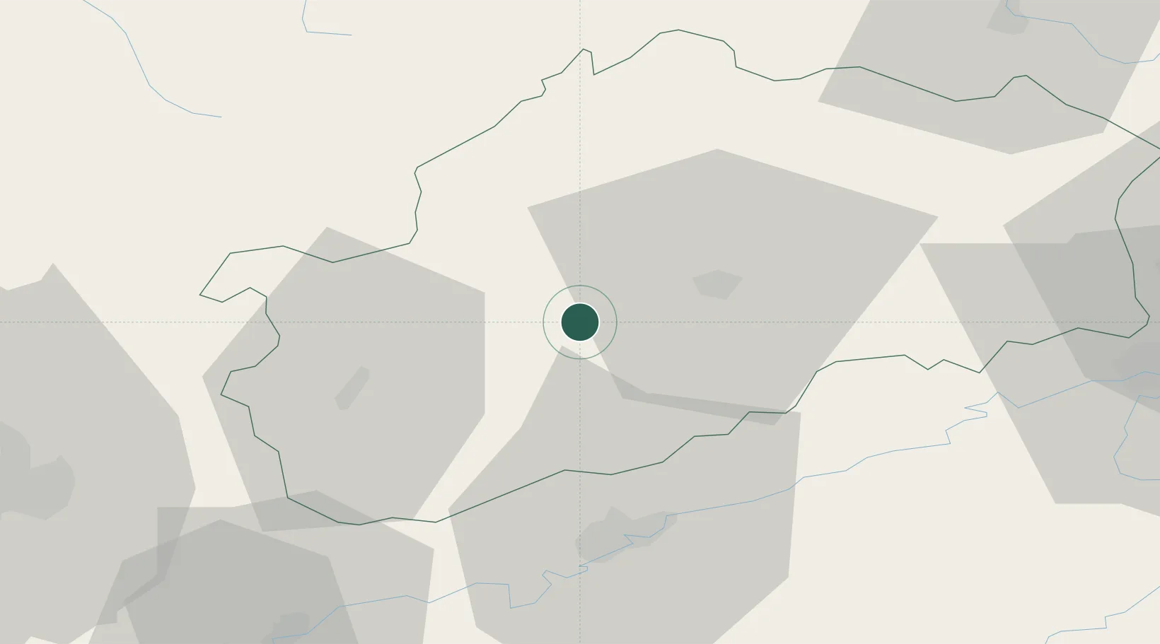
Hub Profile
Place type
Populated place
Region
Bourgogne
Population
603
Time zone
Europe/Paris
Elevation
231 m
Location
Nearby Logistics Neighbours
Cities
- 1Soing-Cubry-Charentenay5 km
- 2Rosey6 km
- 3Mailley-et-Chazelot8 km
- 4Montigny-lès-Vesoul12 km
- 5Vaivre-et-Montoille14 km
Ports
- 1Bruxelles385 km
- 2Savona412 km
- 3Rada Di Vado415 km
- 4Port Of Rouen416 km
- 5Genova421 km
Airports
Trade Zones
- 1ZFU Besancon37 km
- 2ZFU Montbéliard63 km
- 3ZFU Belfort65 km
- 4ZFU Chenôve79 km
- 5ZFU Mulhouse106 km
DatabookThe Record of Consolidated Knowledge
France beyond logistics?