Transport Functions
Multimodal
Hub Profile
Place type
Populated place
Region
Bourgogne
Population
219
Time zone
Europe/Paris
Elevation
246 m
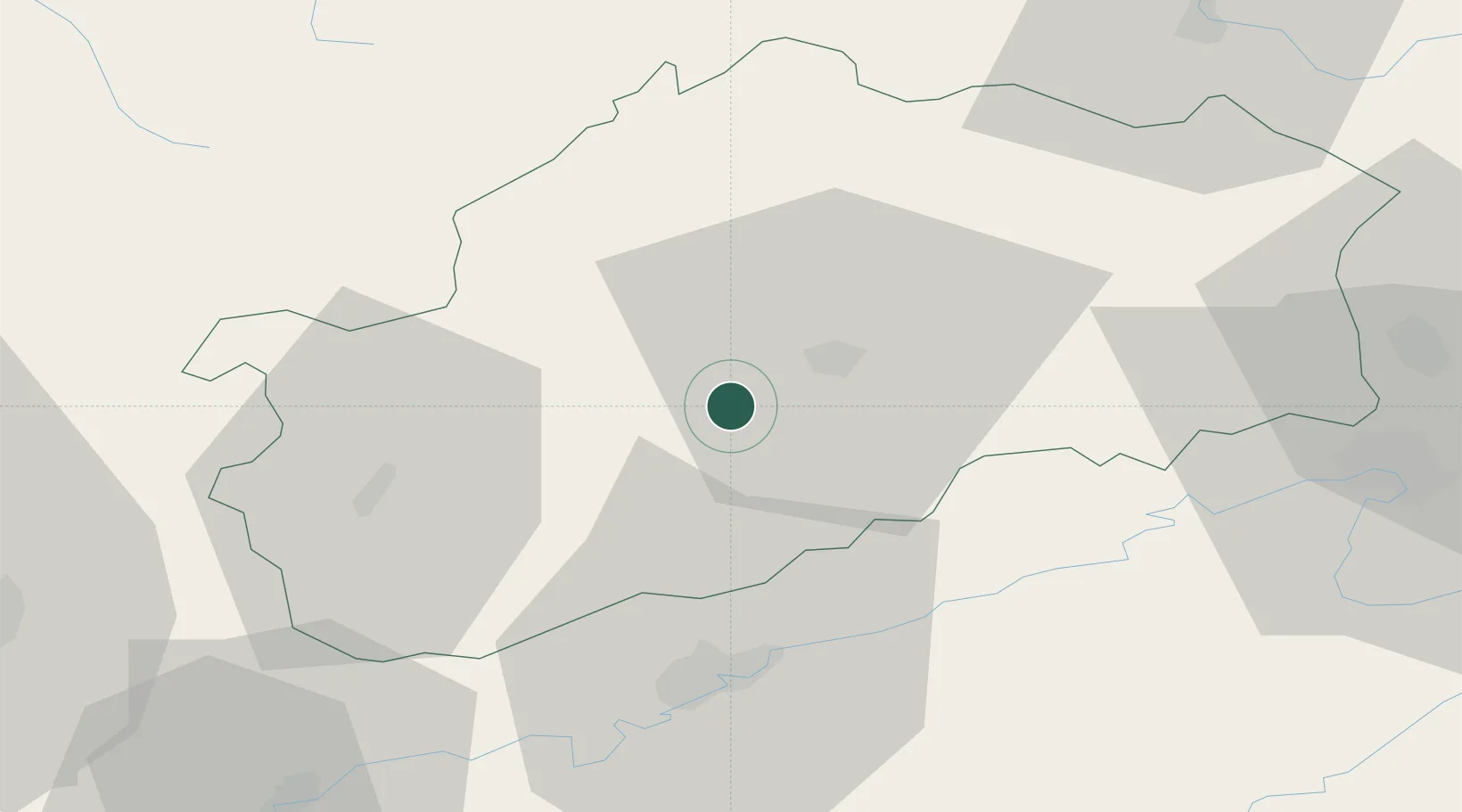
Location
Nearby Logistics Neighbours
Cities
- 1Mailley-et-Chazelot4 km
- 2Noidans-le-Ferroux6 km
- 3Montigny-lès-Vesoul8 km
- 4Vaivre-et-Montoille9 km
- 5Vesoul10 km
Ports
- 1Bruxelles387 km
- 2Savona409 km
- 3Rada Di Vado412 km
- 4Genova417 km
- 5Antwerpen423 km
Airports
Trade Zones
- 1ZFU Besancon37 km
- 2ZFU Montbéliard57 km
- 3ZFU Belfort59 km
- 4ZFU Chenôve85 km
- 5ZFU Mulhouse100 km
DatabookThe Record of Consolidated Knowledge
France beyond logistics?