Transport Functions
Port
Road
Hub Profile
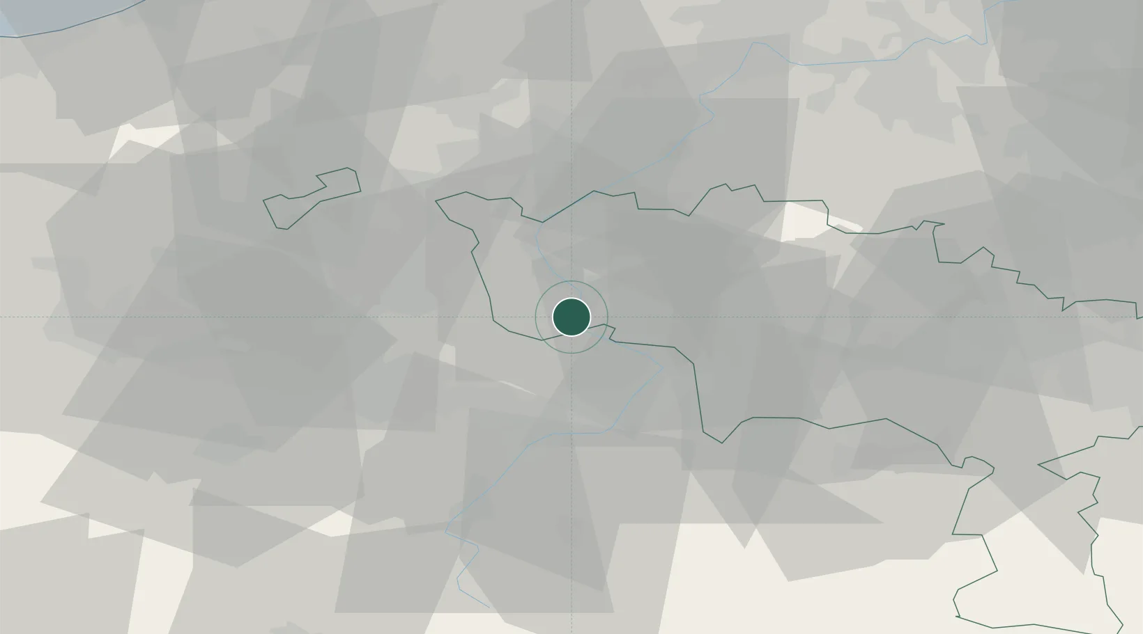
Place type
Populated place
Region
Wallonia
Population
1,276
Time zone
Europe/Brussels
Elevation
19 m
Location
Nearby Logistics Neighbours
Ports
- 1Ghent63 km
- 2Bruxelles76 km
- 3Bruges79 km
- 4Nieuwpoort82 km
- 5Oostende85 km
Airports
DatabookThe Record of Consolidated Knowledge
Belgium beyond logistics?