Transport Functions
Port
Road
Hub Profile
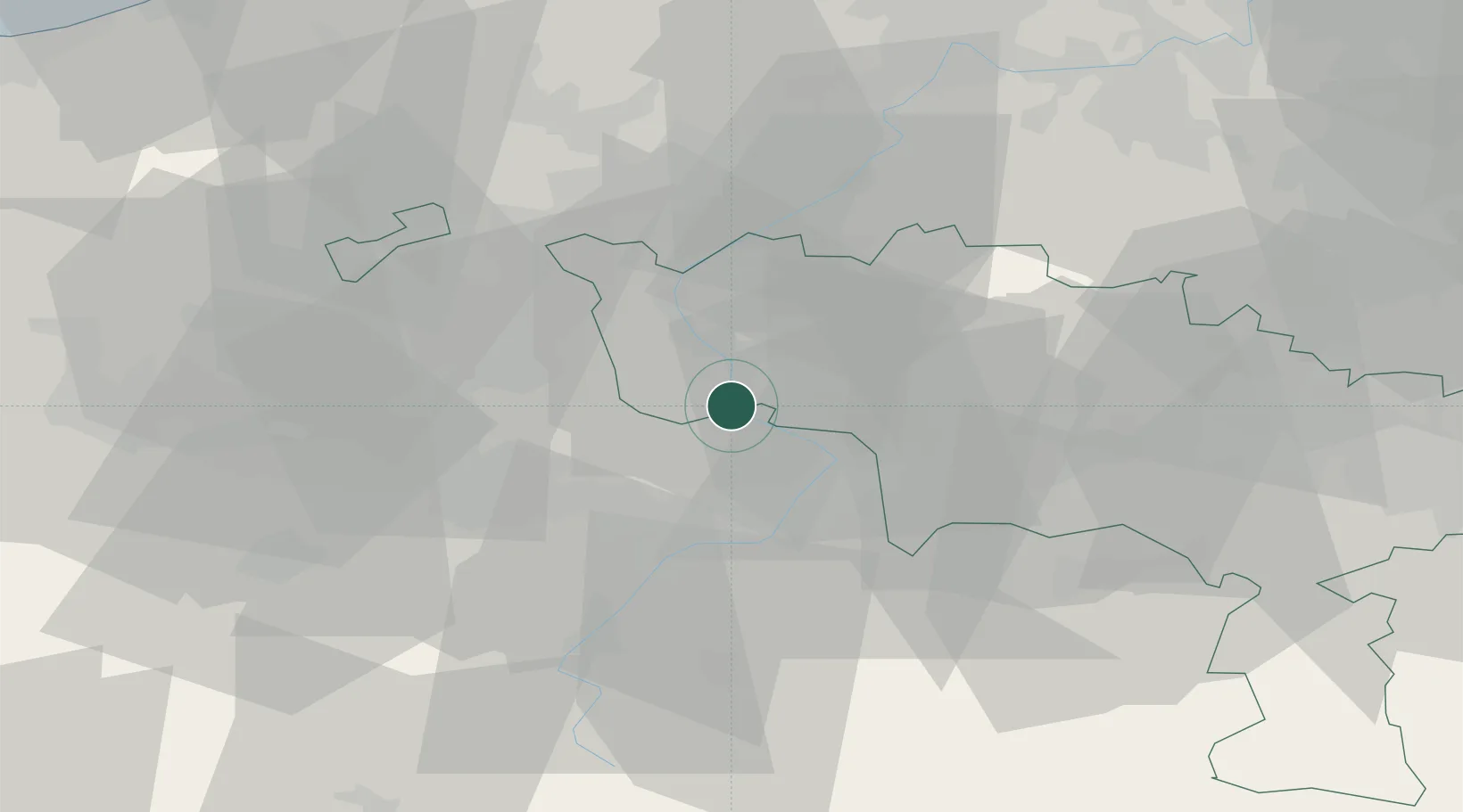
Place type
Populated place
Region
Wallonia
Population
1,391
Time zone
Europe/Brussels
Elevation
17 m
Location
Nearby Logistics Neighbours
Cities
- 1Hollain2 km
- 2Mortagne-du-Nord2 km
- 3Bléharies2 km
- 4Péronnes4 km
- 5Bruyelle4 km
Ports
- 1Ghent65 km
- 2Bruxelles75 km
- 3Bruges81 km
- 4Nieuwpoort84 km
- 5Oostende88 km
Airports
DatabookThe Record of Consolidated Knowledge
Belgium beyond logistics?