Transport Functions
Multimodal
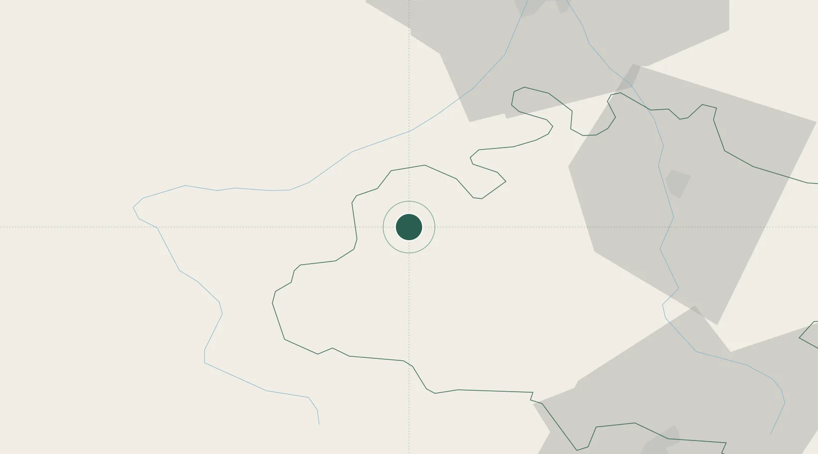
Hub Profile
Place type
Populated place
Region
Occitanie
Time zone
Europe/Paris
Elevation
363 m
Location
Nearby Logistics Neighbours
Cities
- 1Montjoie-en-Couserans7 km
- 2Boussens20 km
- 3Lavelanet-de-Comminges24 km
- 4Bours29 km
- 5Villeneuve-de-Rivière37 km
Ports
- 1Port-La-Nouvelle160 km
- 2Port-Vendres174 km
- 3Rosas191 km
- 4Barcelona207 km
- 5Villanueva Y Geltru207 km
Airports
Trade Zones
- 1ZFU Toulouse69 km
- 2ZFU Perpignan151 km
- 3ZFU Béziers175 km
- 4Zona Franca de Barcelona207 km
- 5Depósito Franco de Tarragona214 km
DatabookThe Record of Consolidated Knowledge
France beyond logistics?