UN/LOCODE hub · France
FRBS9
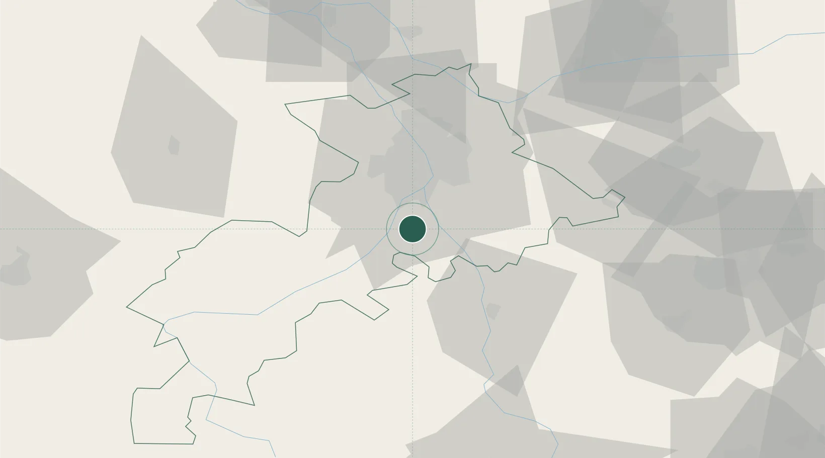
Beaumont-sur-Lèze
43.3833°, 1.3667°
1,590
Population
2
Transport functions
Transport Functions
Road
Multimodal
Hub Profile
Place type
Populated place
Region
Occitanie
Population
1,590
Time zone
Europe/Paris
Elevation
205 m
Location
Nearby Logistics Neighbours
Cities
- 1Vernet7 km
- 2Clermont-le-Fort9 km
- 3Pins-Justaret11 km
- 4Lherm13 km
- 5Roques15 km
Ports
- 1Port-La-Nouvelle144 km
- 2Port-Vendres172 km
- 3Sete189 km
- 4Rosas193 km
- 5Palamos224 km
Airports
Trade Zones
- 1ZFU Toulouse25 km
- 2ZFU Perpignan146 km
- 3ZFU Béziers150 km
- 4ZFU Montpellier202 km
- 5ZFU Hauts de Garonne223 km
DatabookThe Record of Consolidated Knowledge
France beyond logistics?