Transport Functions
Port
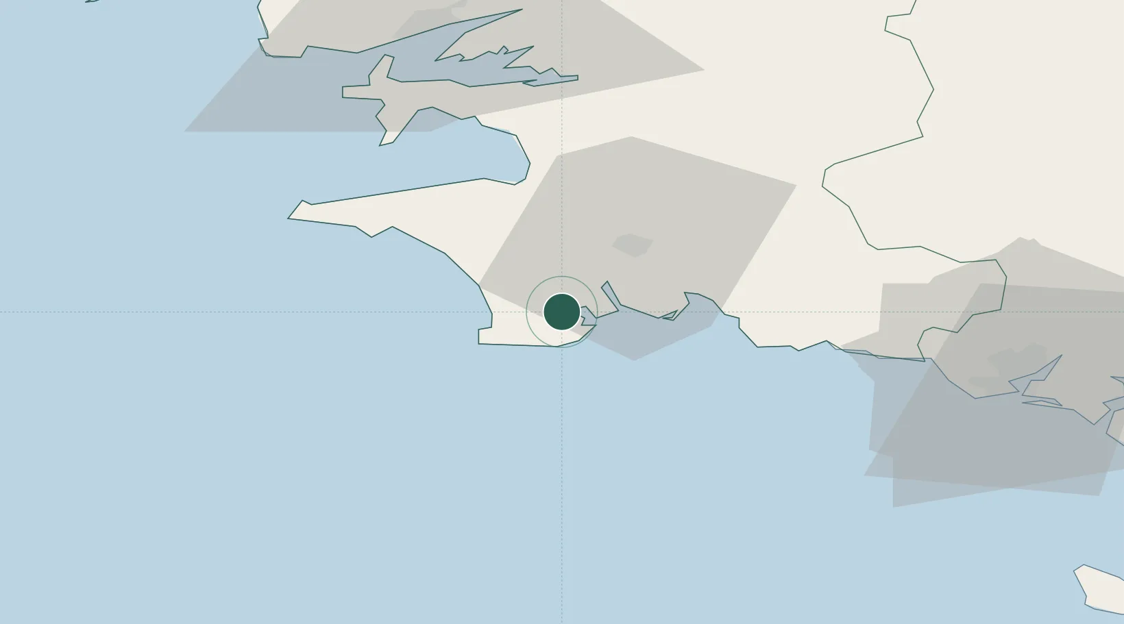
Hub Profile
Place type
Populated place
Region
Brittany
Population
6,791
Time zone
Europe/Paris
Elevation
11 m
Location
Nearby Logistics Neighbours
Ports
- 1Concarneau22 km
- 2Rade De Brest61 km
- 3Lorient66 km
- 4Morlaix85 km
- 5Port De Roscoff-Bloscon98 km
Airports
Trade Zones
- 1ZFU Saint-Nazaire160 km
- 2ZFU Nantes et Saint-Herblain202 km
- 3ZFU Cherbourg-Octeville272 km
- 4ZFU Angers274 km
- 5Oceansgate Plymouth278 km
DatabookThe Record of Consolidated Knowledge
France beyond logistics?