Transport Functions
Multimodal
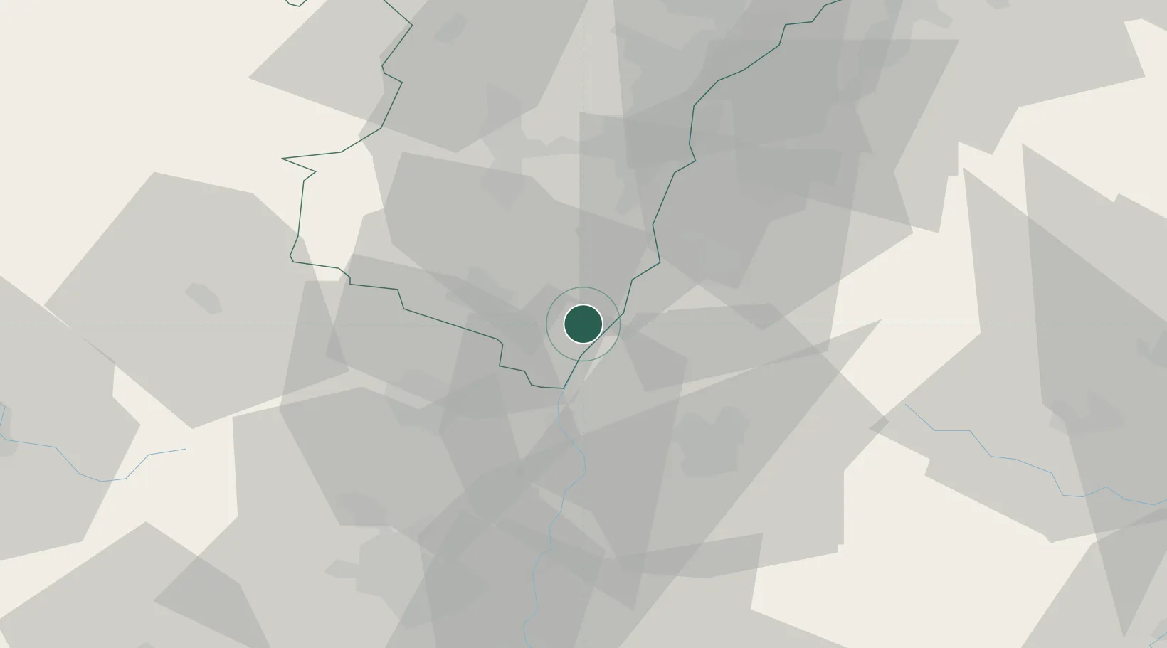
Hub Profile
Place type
Populated place
Region
Grand Est
Population
512
Time zone
Europe/Paris
Elevation
164 m
Location
Nearby Logistics Neighbours
Cities
- 1Wittisheim5 km
- 2Ringsheim11 km
- 3Kenzingen12 km
- 4Kogenheim13 km
- 5Endingen13 km
Airports
- 1Lahr Airport22 km
- 2Colmar Houssen airport24 km
- 3Strasbourg Airport34 km
- 4Phalsbourg-Bourscheid Air Base67 km
- 5Karlsruhe Baden-Baden Airport70 km
Trade Zones
- 1ZFU Neuhof36 km
- 2ZFU Hautepierre41 km
- 3ZFU Mulhouse58 km
- 4ZFU Belfort89 km
- 5ZFU Montbéliard102 km
DatabookThe Record of Consolidated Knowledge
France beyond logistics?