Transport Functions
Road
Multimodal
Hub Profile
Place type
Local administrative seat
Region
Baden-Wurttemberg
Population
2,112
Time zone
Europe/Berlin
Elevation
171 m
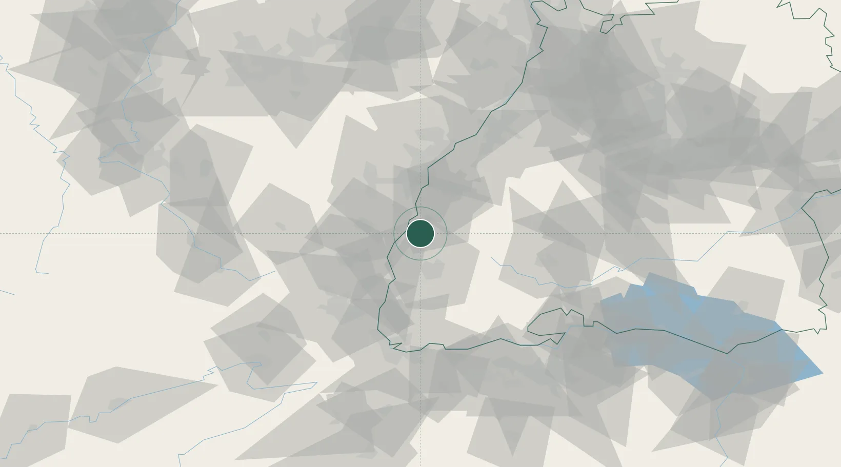
Location
Nearby Logistics Neighbours
Cities
- 1Kenzingen4 km
- 2Saasenheim11 km
- 3Endingen12 km
- 4Bahlingen Am Kaiserstuhl13 km
- 5Bahlingen13 km
Airports
- 1Lahr Airport16 km
- 2Colmar Houssen airport33 km
- 3Strasbourg Airport35 km
- 4Donaueschingen-Villingen Airfield63 km
- 5Karlsruhe Baden-Baden Airport65 km
Trade Zones
- 1ZFU Neuhof34 km
- 2ZFU Hautepierre41 km
- 3ZFU Mulhouse63 km
- 4ZFU Belfort97 km
- 5ZFU Montbéliard109 km
DatabookThe Record of Consolidated Knowledge
Germany beyond logistics?