Transport Functions
Multimodal
Hub Profile
Place type
Populated place
Region
Grand Est
Population
1,929
Time zone
Europe/Paris
Elevation
165 m
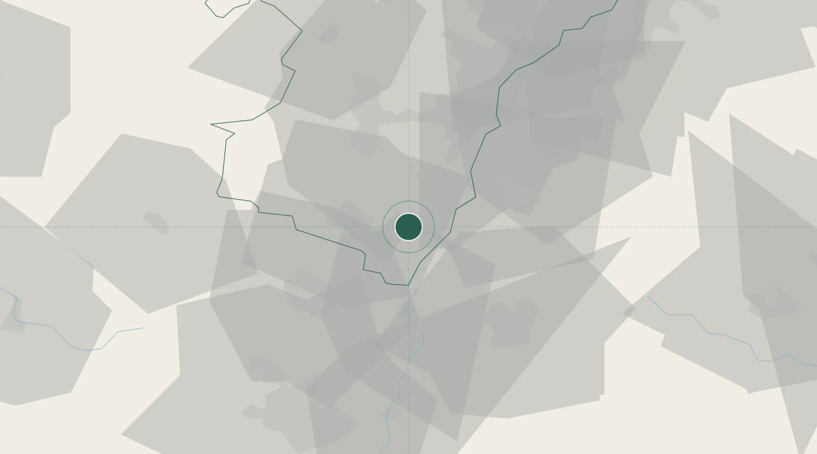
Location
Nearby Logistics Neighbours
Cities
- 1Saasenheim5 km
- 2Kogenheim8 km
- 3Huttenheim9 km
- 4Sélestat10 km
- 5Scherwiller13 km
Airports
- 1Lahr Airport21 km
- 2Colmar Houssen airport24 km
- 3Strasbourg Airport30 km
- 4Phalsbourg-Bourscheid Air Base62 km
- 5Karlsruhe Baden-Baden Airport68 km
Trade Zones
- 1ZFU Neuhof33 km
- 2ZFU Hautepierre37 km
- 3ZFU Mulhouse60 km
- 4ZFU Belfort90 km
- 5ZFU Montbéliard104 km
DatabookThe Record of Consolidated Knowledge
France beyond logistics?