Transport Functions
Multimodal
Hub Profile
Place type
Populated place
Region
Brittany
Population
4,011
Time zone
Europe/Paris
Elevation
220 m
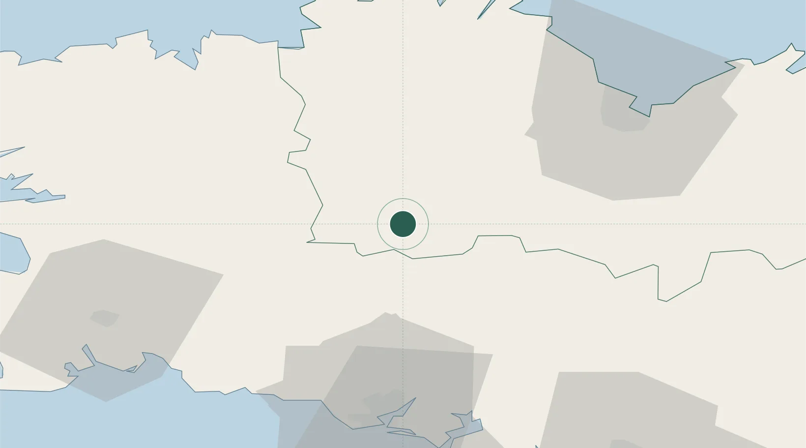
Location
Nearby Logistics Neighbours
Cities
- 1Canihuel20 km
- 2Priziac20 km
- 3Carhaix-Plouguer21 km
- 4Bourbriac28 km
- 5Plésidy28 km
Ports
- 1Le Legue54 km
- 2Lorient54 km
- 3Pontrieux54 km
- 4Morlaix55 km
- 5Concarneau60 km
Airports
Trade Zones
- 1ZFU Saint-Nazaire132 km
- 2ZFU Nantes et Saint-Herblain165 km
- 3ZFU Cherbourg-Octeville198 km
- 4ZFU Angers219 km
- 5ZFU La Guérinière, La Grâce de Dieu238 km
DatabookThe Record of Consolidated Knowledge
France beyond logistics?