Transport Functions
Multimodal
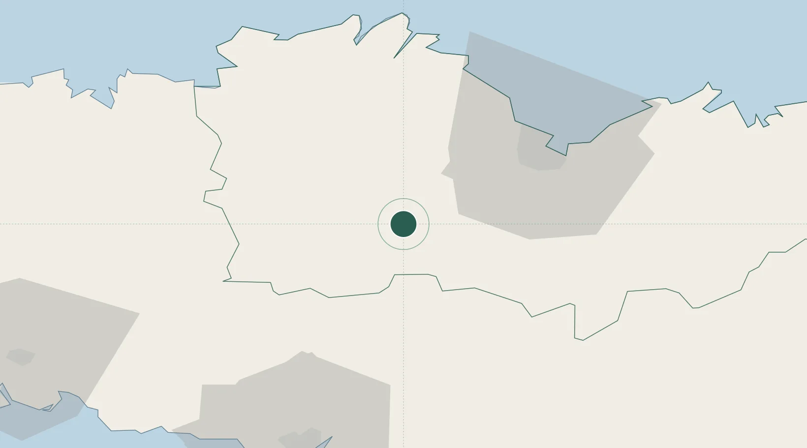
Hub Profile
Place type
Populated place
Region
Brittany
Population
429
Time zone
Europe/Paris
Elevation
203 m
Location
Nearby Logistics Neighbours
Cities
- 1Plésidy13 km
- 2Bourbriac16 km
- 3Saint-Brandan18 km
- 4Rostrenen20 km
- 5Lanrodec21 km
Ports
- 1Le Legue34 km
- 2Pontrieux42 km
- 3Paimpol50 km
- 4Lezardrieux51 km
- 5Treguier51 km
Airports
Trade Zones
- 1ZFU Saint-Nazaire133 km
- 2ZFU Nantes et Saint-Herblain162 km
- 3ZFU Cherbourg-Octeville179 km
- 4ZFU Angers209 km
- 5ZFU La Guérinière, La Grâce de Dieu219 km
DatabookThe Record of Consolidated Knowledge
France beyond logistics?