UN/LOCODE hub · France
FRZIR

Priziac

48.0667°, -3.4167°
1
Transport functions

Transport Functions

Multimodal
UN/LOCODE

Hub Profile

Region
56
GeoNames

Location

Location of FRZIR
Natural Earth 10m (public domain) · 56 · FRZIR · 48.07, -3.42GoogleOSMYandex

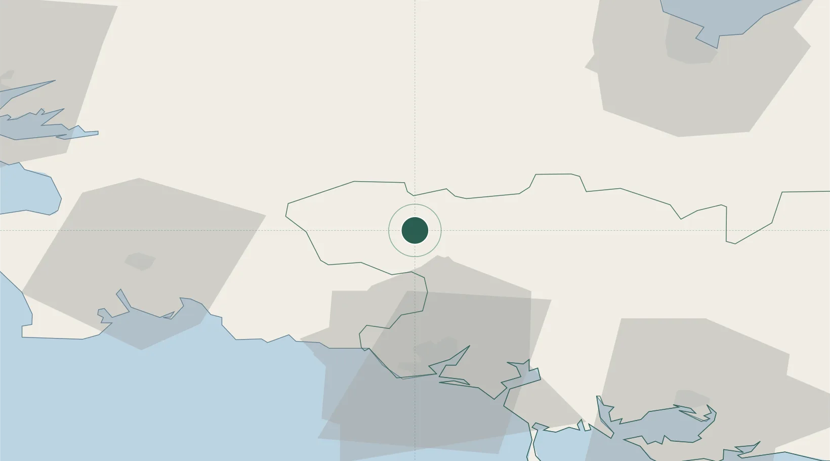
Nearby Logistics Neighbours

Cities
  1. 1Plouay18 km
  2. 2Rostrenen20 km
  3. 3Bannalec26 km
  4. 4Pont-Scorff26 km
  5. 5Carhaix-Plouguer27 km
Nearest neighbours — logibook spatial index (haversine) over the source coordinates
Ports
  1. 1Lorient36 km
  2. 2Concarneau43 km
  3. 3Morlaix65 km
  4. 4Le Legue72 km
  5. 5Pontrieux74 km
Nearest neighbours — logibook spatial index (haversine) over the source coordinates
Airports
  1. 1Lorient South Brittany (Bretagne Sud) Airport34 km
  2. 2Quimper-Cornouaille Airport57 km
  3. 3Vannes-Meucon Airport65 km
  4. 4Morlaix-Ploujean Airport67 km
  5. 5Saint-Brieuc-Armor Airport67 km
Nearest neighbours — logibook spatial index (haversine) over the source coordinates
Trade Zones
  1. 1ZFU Saint-Nazaire123 km
  2. 2ZFU Nantes et Saint-Herblain159 km
  3. 3ZFU Cherbourg-Octeville217 km
  4. 4ZFU Angers220 km
  5. 5ZFU La Guérinière, La Grâce de Dieu254 km
Nearest neighbours — logibook spatial index (haversine) over the source coordinates
DatabookThe Record of Consolidated Knowledge
France beyond logistics?
Browse databook

All Sources

LocationsUN/LOCODE
UN/LOCODE — free
Portsthe NGA World Port Index
Public domain (US gov)
AirportsOurAirports
Public domain
Trade Zonesthe World Bank SEZ database
CC BY 4.0
Trade ZonesOpen Zone Map
CC BY
← France locations