UN/LOCODE hub · France
FRCXP
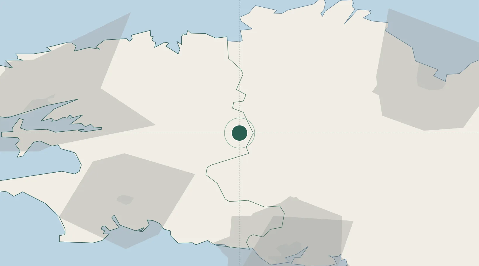
Carhaix-Plouguer
48.2833°, -3.5833°
8,270
Population
2
Transport functions
Transport Functions
Rail
Road
Hub Profile
Place type
Populated place
Region
Brittany
Population
8,270
Time zone
Europe/Paris
Elevation
145 m
Location
Nearby Logistics Neighbours
Cities
- 1Rostrenen21 km
- 2Priziac27 km
- 3Plougonven28 km
- 4Coray30 km
- 5Gouézec31 km
Ports
- 1Morlaix38 km
- 2Concarneau53 km
- 3Pontrieux57 km
- 4Port De Roscoff-Bloscon58 km
- 5Treguier61 km
Airports
Trade Zones
- 1ZFU Saint-Nazaire149 km
- 2ZFU Nantes et Saint-Herblain184 km
- 3ZFU Cherbourg-Octeville206 km
- 4Oceansgate Plymouth236 km
- 5Heart of the South West Enterprise Zone238 km
DatabookThe Record of Consolidated Knowledge
France beyond logistics?