Transport Functions
Multimodal
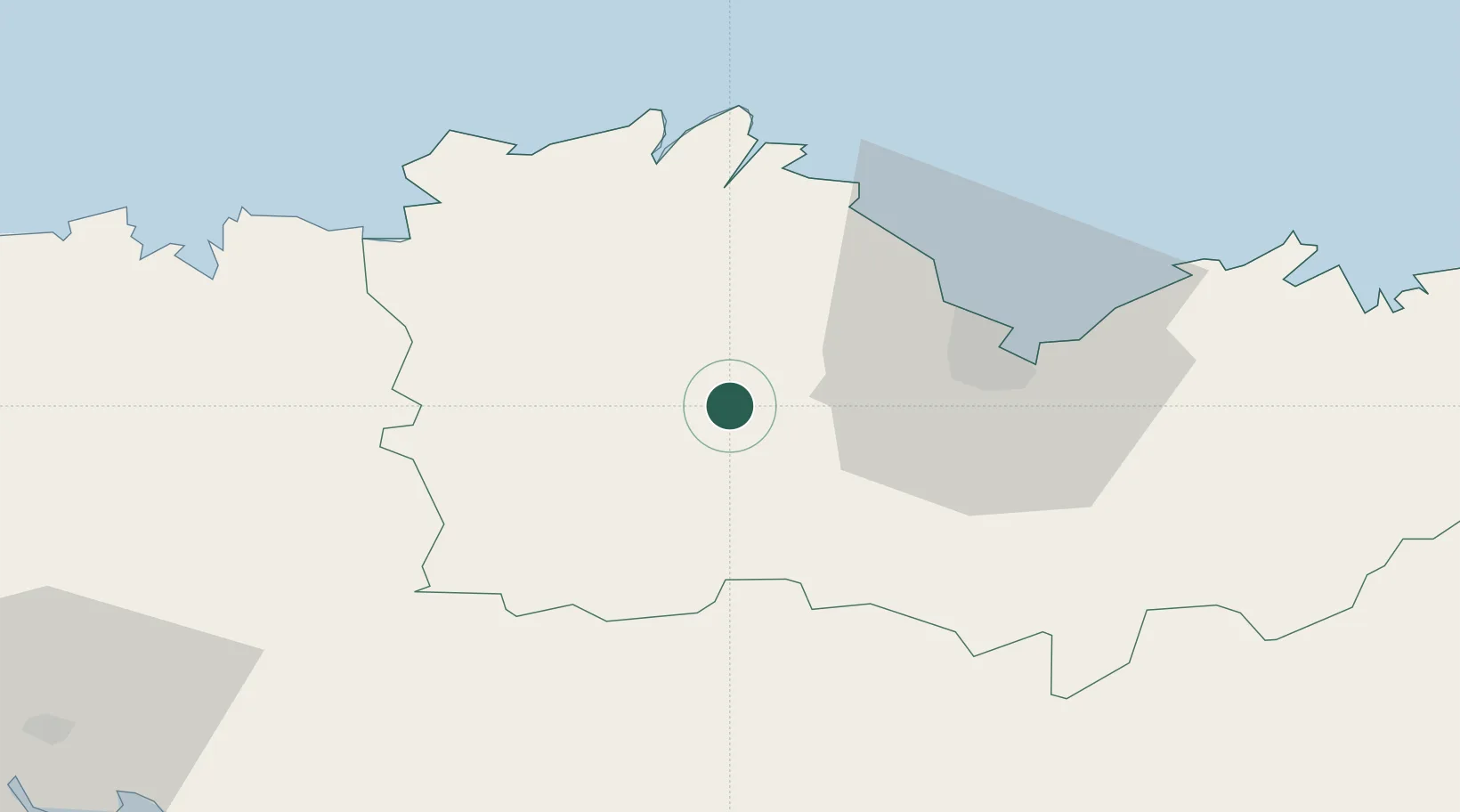
Hub Profile
Place type
Populated place
Region
Brittany
Population
748
Time zone
Europe/Paris
Elevation
209 m
Location
Nearby Logistics Neighbours
Ports
- 1Le Legue29 km
- 2Pontrieux29 km
- 3Paimpol37 km
- 4Lezardrieux38 km
- 5Treguier38 km
Airports
- 1Saint-Brieuc-Armor Airport22 km
- 2Lannion Airport43 km
- 3Morlaix-Ploujean Airport54 km
- 4Landivisiau Air Base77 km
- 5Dinard Pleurtuit Saint-Malo airport78 km
Trade Zones
- 1ZFU Saint-Nazaire145 km
- 2ZFU Cherbourg-Octeville169 km
- 3ZFU Nantes et Saint-Herblain172 km
- 4ZFU La Guérinière, La Grâce de Dieu215 km
- 5ZFU Angers216 km
DatabookThe Record of Consolidated Knowledge
France beyond logistics?