Transport Functions
Multimodal
Hub Profile
Place type
Populated place
Region
Brittany
Population
2,349
Time zone
Europe/Paris
Elevation
212 m
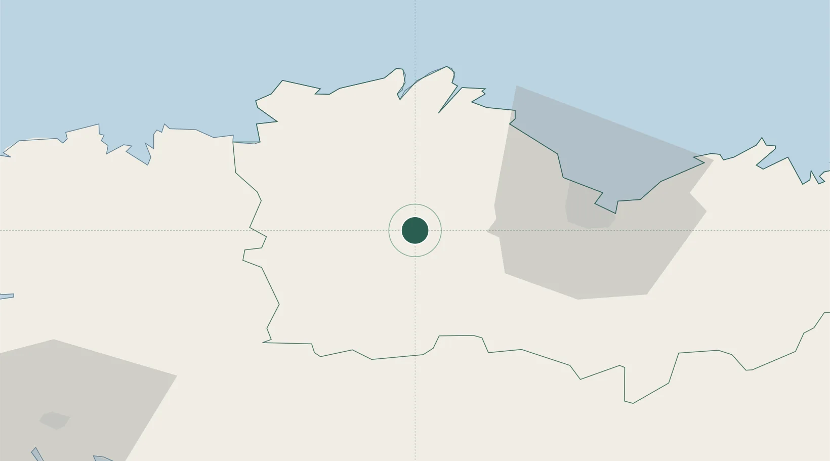
Location
Nearby Logistics Neighbours
Ports
- 1Pontrieux27 km
- 2Le Legue33 km
- 3Treguier35 km
- 4Lezardrieux37 km
- 5Paimpol37 km
Airports
Trade Zones
- 1ZFU Saint-Nazaire149 km
- 2ZFU Cherbourg-Octeville171 km
- 3ZFU Nantes et Saint-Herblain177 km
- 4ZFU La Guérinière, La Grâce de Dieu218 km
- 5ZFU Angers221 km
DatabookThe Record of Consolidated Knowledge
France beyond logistics?