Transport Functions
Road
Multimodal
Hub Profile
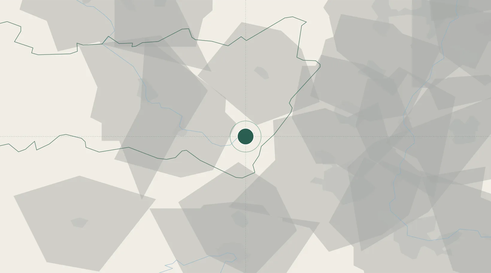
Place type
Populated place
Region
Grand Est
Population
5,096
Time zone
Europe/Paris
Elevation
617 m
Location
Nearby Logistics Neighbours
Cities
- 1Metzeral14 km
- 2Husseren-Wesserling14 km
- 3Dommartin-lès-Remiremont17 km
- 4Granges-sur-Vologne18 km
- 5Munster19 km
Airports
Trade Zones
- 1ZFU Belfort40 km
- 2ZFU Mulhouse44 km
- 3ZFU Montbéliard56 km
- 4ZFU Neuhof89 km
- 5ZFU Hautepierre89 km
DatabookThe Record of Consolidated Knowledge
France beyond logistics?