UN/LOCODE hub · France
FRNHY

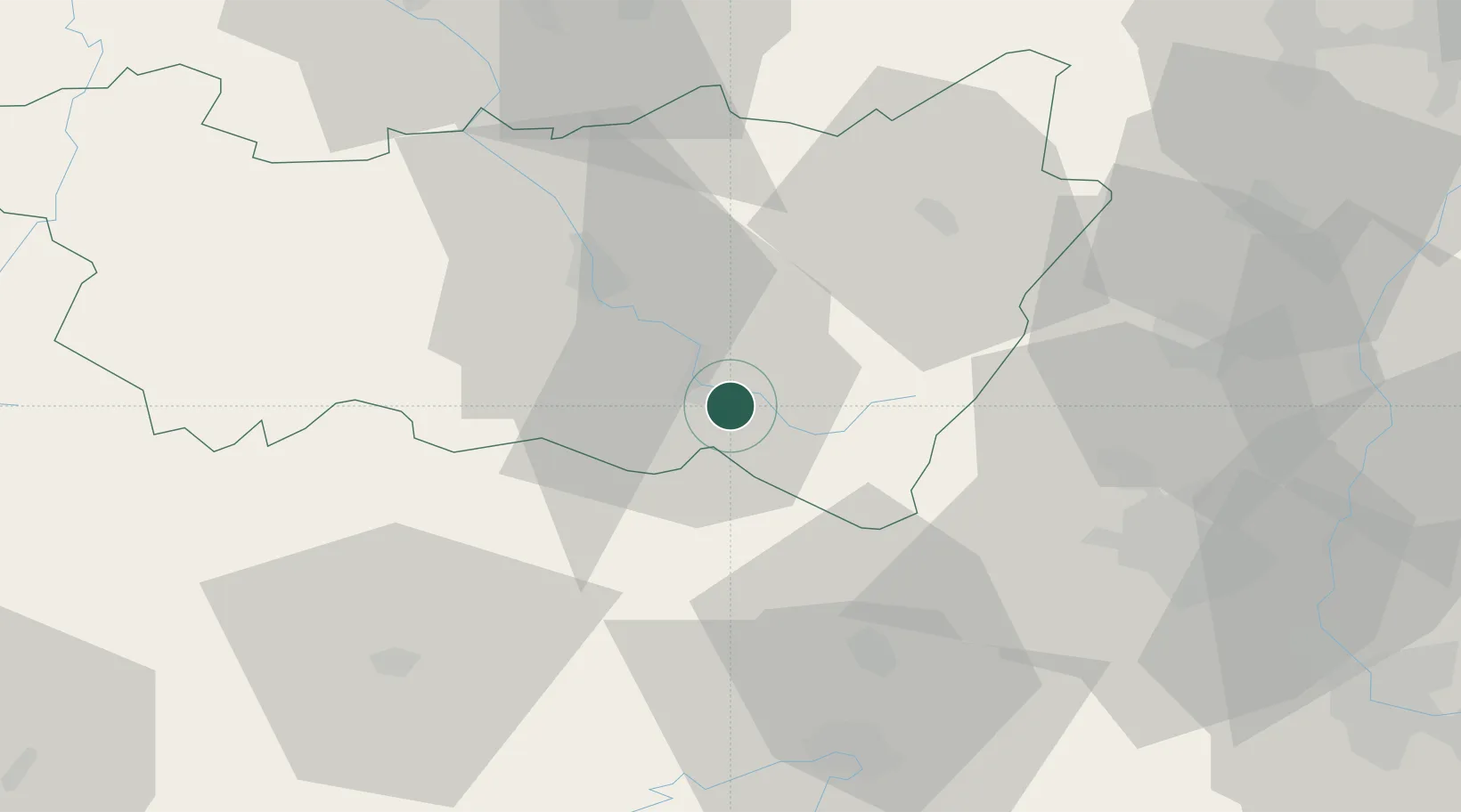
Dommartin-lès-Remiremont

48.0000°, 6.6500°
1,854
Population
1
Transport functions

Transport Functions

Multimodal
UN/LOCODE

Hub Profile

Place type
Populated place
GeoNames
Region
Grand Est
GeoNames
Population
1,854
GeoNames
Time zone
Europe/Paris
GeoNames
Elevation
399 m
GeoNames

Location

Location of FRNHY
Natural Earth 10m (public domain) · Grand Est · FRNHY · 48.00, 6.65GoogleOSMYandex

Nearby Logistics Neighbours

Cities
  1. 1Saint-Nabord7 km
  2. 2Le Val-d'Ajol16 km
  3. 3Arches16 km
  4. 4La Bresse17 km
  5. 5Faucogney-et-la-Mer18 km
Nearest neighbours — logibook spatial index (haversine) over the source coordinates
Ports
  1. 1Bruxelles360 km
  2. 2Antwerpen393 km
  3. 3Ghent401 km
  4. 4Terneuzen425 km
  5. 5Hansweert428 km
Nearest neighbours — logibook spatial index (haversine) over the source coordinates
Airports
  1. 1Luxeuil-Saint-Sauveur (BA 116) Air Base32 km
  2. 2Vesoul-Frotey Airfield52 km
  3. 3Colmar Houssen airport54 km
  4. 4Épinal Mirecourt Airport56 km
  5. 5Montbéliard-Courcelles Airfield58 km
Nearest neighbours — logibook spatial index (haversine) over the source coordinates
Trade Zones
  1. 1ZFU Belfort41 km
  2. 2ZFU Montbéliard56 km
  3. 3ZFU Mulhouse58 km
  4. 4ZFU Maxéville, Laxou, et de Nancy87 km
  5. 5ZFU Besancon98 km
Nearest neighbours — logibook spatial index (haversine) over the source coordinates
DatabookThe Record of Consolidated Knowledge
France beyond logistics?
Browse databook

All Sources

LocationsUN/LOCODE
UN/LOCODE — free
LocationsGeoNames
CC BY 4.0
Portsthe NGA World Port Index
Public domain (US gov)
AirportsOurAirports
Public domain
Trade Zonesthe World Bank SEZ database
CC BY 4.0
Trade ZonesOpen Zone Map
CC BY
← France locations