Transport Functions
Port
Rail
Road
Hub Profile
Place type
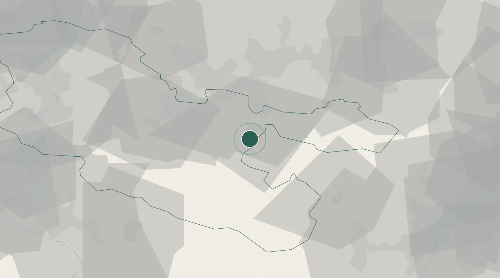
Populated place
Region
Grand Est
Population
4,685
Time zone
Europe/Paris
Elevation
214 m
Location
Nearby Logistics Neighbours
Cities
- 1Rech2 km
- 2Herbitzheim5 km
- 3Bissert8 km
- 4Sarreguemines14 km
- 5Behren-lès-Forbach18 km
Airports
- 1Saarbrücken Airport25 km
- 2Phalsbourg-Bourscheid Air Base29 km
- 3Metz-Nancy-Lorraine Airport56 km
- 4Ramstein Air Base65 km
- 5Nancy-Essey Airport67 km
Trade Zones
- 1ZFU La Cité Behren-lès-Forbach20 km
- 2ZFU Metz63 km
- 3ZFU Woippy-Metz65 km
- 4ZFU Hautepierre67 km
- 5ZFU Maxéville, Laxou, et de Nancy70 km
DatabookThe Record of Consolidated Knowledge
France beyond logistics?