Transport Functions
Port
Road
Hub Profile
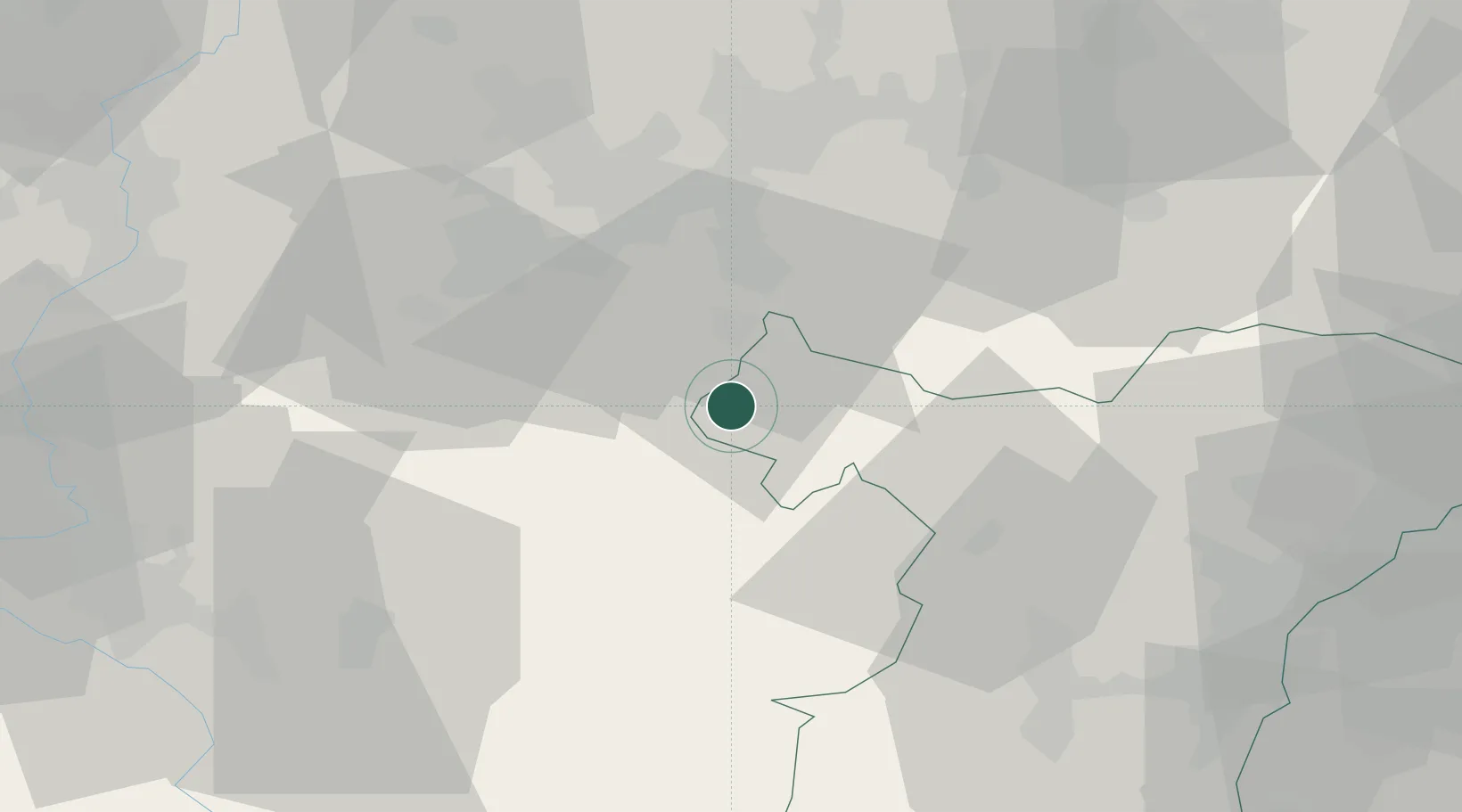
Place type
Populated place
Region
Grand Est
Population
168
Time zone
Europe/Paris
Elevation
225 m
Location
Nearby Logistics Neighbours
Cities
- 1Rech6 km
- 2Sarralbe8 km
- 3Herbitzheim10 km
- 4Sarreguemines21 km
- 5Saint-Louis-lès-Bitche23 km
Airports
- 1Phalsbourg-Bourscheid Air Base22 km
- 2Saarbrücken Airport32 km
- 3Metz-Nancy-Lorraine Airport57 km
- 4Strasbourg Airport62 km
- 5Nancy-Essey Airport65 km
Trade Zones
- 1ZFU La Cité Behren-lès-Forbach27 km
- 2ZFU Hautepierre61 km
- 3ZFU Metz66 km
- 4ZFU Maxéville, Laxou, et de Nancy69 km
- 5ZFU Woippy-Metz69 km
DatabookThe Record of Consolidated Knowledge
France beyond logistics?