Transport Functions
Multimodal
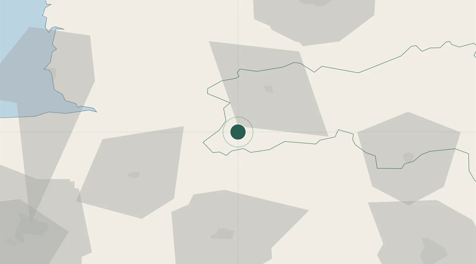
Hub Profile
Place type
Populated place
Region
Normandy
Population
270
Time zone
Europe/Paris
Elevation
119 m
Location
Nearby Logistics Neighbours
Cities
- 1Saint-Georges-de-Rouelley6 km
- 2Barenton11 km
- 3Gorron17 km
- 4La Chapelle-d'Andaine18 km
- 5Messei-Saint-Gervais22 km
Ports
- 1Granville73 km
- 2Port De Caen75 km
- 3Ouistreham88 km
- 4Saint-Malo98 km
- 5Deauville107 km
Airports
- 1Laval-Entrammes Airport58 km
- 2Caen Carpiquet airport72 km
- 3Granville Airport73 km
- 4Rennes-Saint-Jacques Airport93 km
- 5Le Mans-Arnage Airport95 km
Trade Zones
- 1ZFU Alençon59 km
- 2ZFU La Guérinière, La Grâce de Dieu74 km
- 3ZFU Hérouville-Saint-Clair77 km
- 4ZFU Le Mans88 km
- 5ZFU Angers119 km
DatabookThe Record of Consolidated Knowledge
France beyond logistics?