Transport Functions
Multimodal
Hub Profile
Place type
Populated place
Region
Pays de la Loire
Time zone
Europe/Paris
Elevation
120 m
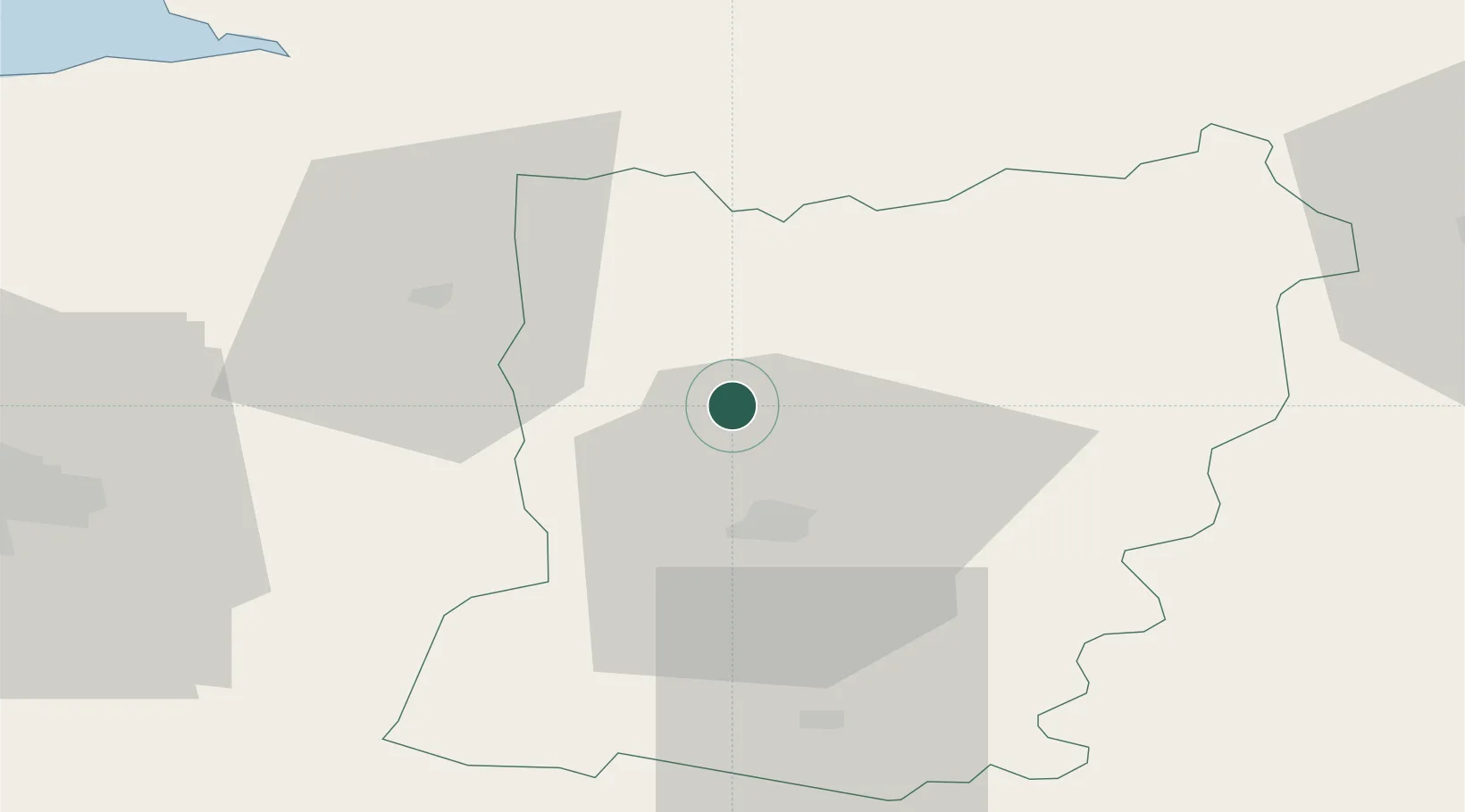
Location
Nearby Logistics Neighbours
Cities
- 1Changé13 km
- 2Laval16 km
- 3Le Genest-Saint-Isle16 km
- 4Loiron19 km
- 5Gorron22 km
Ports
- 1Granville90 km
- 2Saint-Malo101 km
- 3Port De Caen113 km
- 4Ouistreham126 km
- 5Nantes126 km
Airports
- 1Laval-Entrammes Airport21 km
- 2Rennes-Saint-Jacques Airport70 km
- 3Le Mans-Arnage Airport81 km
- 4Angers Marcé airport82 km
- 5Granville Airport92 km
Trade Zones
- 1ZFU Alençon70 km
- 2ZFU Le Mans75 km
- 3ZFU Angers83 km
- 4ZFU La Guérinière, La Grâce de Dieu112 km
- 5ZFU Hérouville-Saint-Clair115 km
DatabookThe Record of Consolidated Knowledge
France beyond logistics?