Transport Functions
Rail
Road
Hub Profile
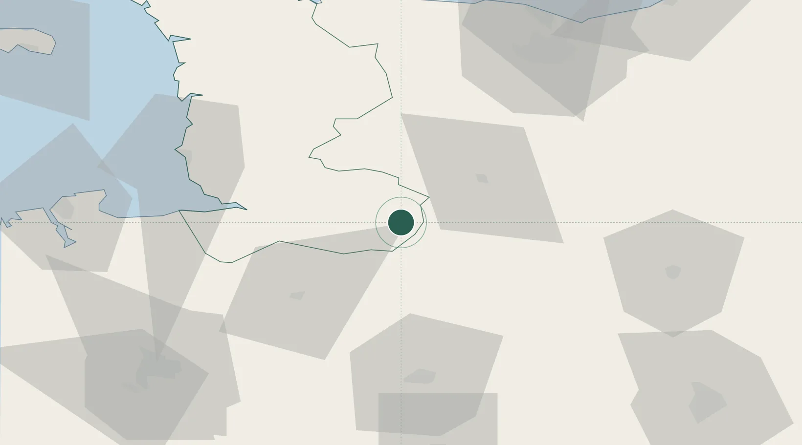
Place type
Populated place
Region
Normandy
Population
1,426
Time zone
Europe/Paris
Elevation
139 m
Location
Nearby Logistics Neighbours
Cities
- 1Saint-Georges-de-Rouelley7 km
- 2Romagny11 km
- 3Torchamp11 km
- 4Juvigny-le-Tertre16 km
- 5Vengeons18 km
Ports
- 1Granville62 km
- 2Port De Caen74 km
- 3Ouistreham87 km
- 4Saint-Malo87 km
- 5Deauville108 km
Airports
Trade Zones
- 1ZFU Alençon70 km
- 2ZFU La Guérinière, La Grâce de Dieu72 km
- 3ZFU Hérouville-Saint-Clair76 km
- 4ZFU Le Mans99 km
- 5ZFU Le Havre122 km
DatabookThe Record of Consolidated Knowledge
France beyond logistics?