Transport Functions
Multimodal
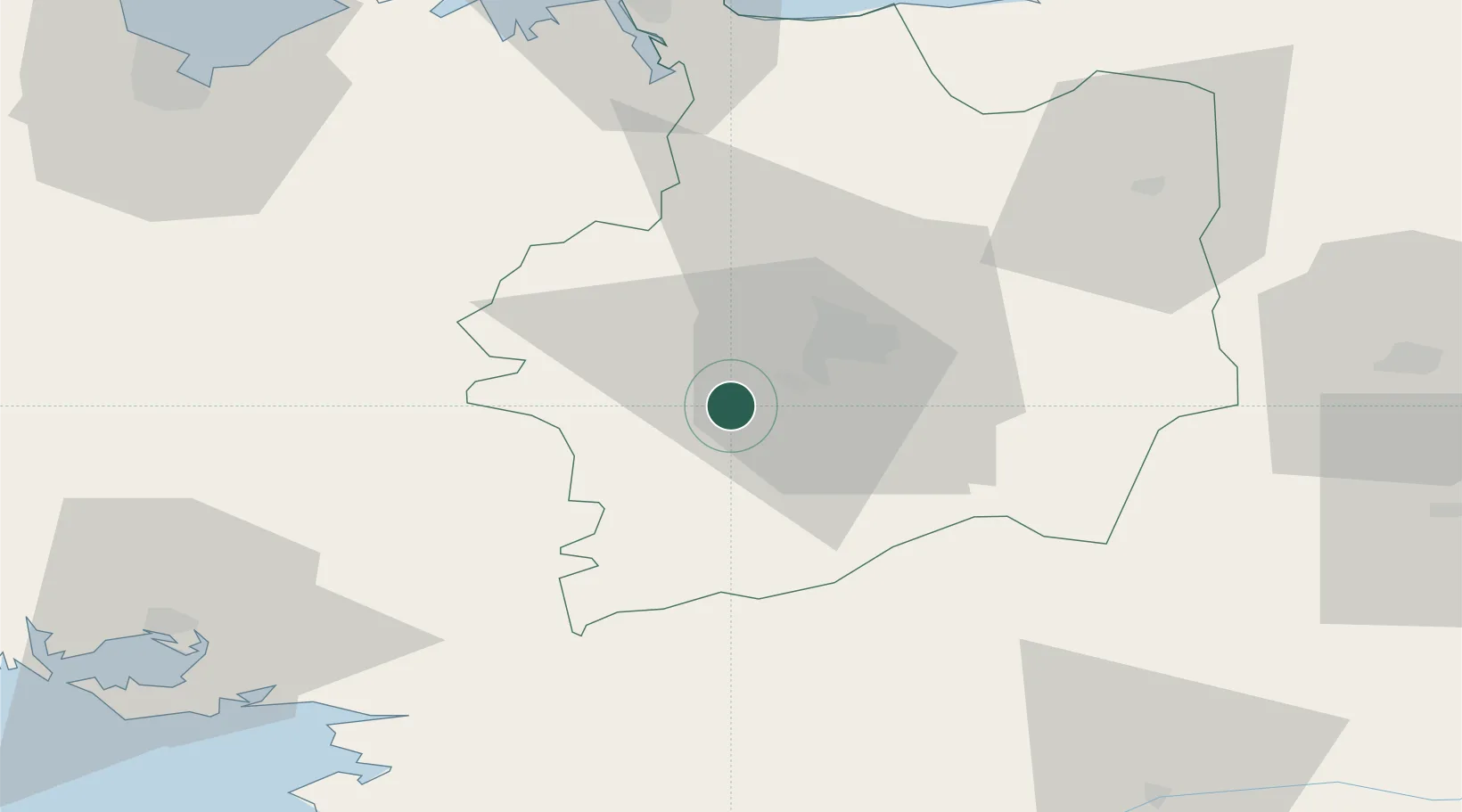
Hub Profile
Place type
Populated place
Region
Brittany
Population
3,291
Time zone
Europe/Paris
Elevation
102 m
Location
Nearby Logistics Neighbours
Cities
- 1Pont-Réan5 km
- 2Guichen6 km
- 3Saint-Thurial7 km
- 4Pléchâtel13 km
- 5Campel15 km
Ports
- 1Saint-Malo73 km
- 2Donges80 km
- 3Montoir81 km
- 4St Nazaire84 km
- 5Le Legue89 km
Airports
Trade Zones
- 1ZFU Saint-Nazaire87 km
- 2ZFU Nantes et Saint-Herblain87 km
- 3ZFU Angers110 km
- 4ZFU Le Mans147 km
- 5ZFU Alençon151 km
DatabookThe Record of Consolidated Knowledge
France beyond logistics?