UN/LOCODE hub · France
FRGCH

Guichen

47.9667°, -1.7833°
7,142
Population
1
Transport functions

Transport Functions

Port
UN/LOCODE

Hub Profile

Place type
Populated place
GeoNames
Region
Brittany
GeoNames
Population
7,142
GeoNames
Time zone
Europe/Paris
GeoNames
Elevation
74 m
GeoNames

Location

Location of FRGCH
Natural Earth 10m (public domain) · Brittany · FRGCH · 47.97, -1.78GoogleOSMYandex

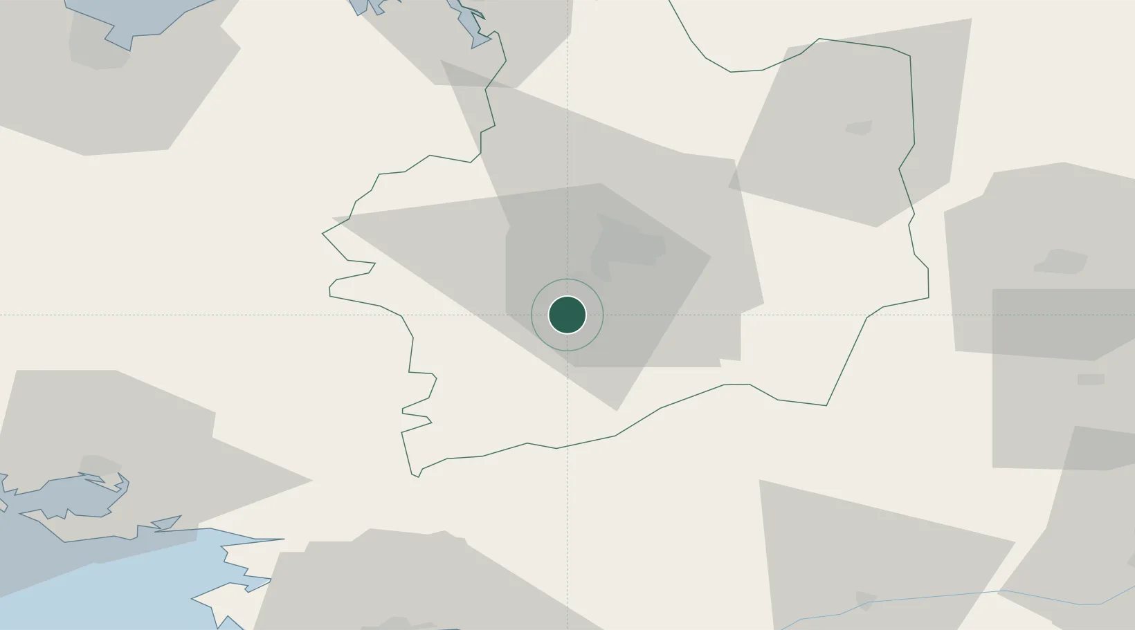
Nearby Logistics Neighbours

Cities
  1. 1Pont-Réan4 km
  2. 2Goven6 km
  3. 3Pléchâtel8 km
  4. 4Noyal-Châtillon-sur-Seiche13 km
  5. 5Saint-Thurial13 km
Nearest neighbours — logibook spatial index (haversine) over the source coordinates
Ports
  1. 1Donges77 km
  2. 2Saint-Malo78 km
  3. 3Montoir79 km
  4. 4St Nazaire82 km
  5. 5Nantes87 km
Nearest neighbours — logibook spatial index (haversine) over the source coordinates
Airports
  1. 1Rennes-Saint-Jacques Airport12 km
  2. 2Dinard Pleurtuit Saint-Malo airport73 km
  3. 3Vannes-Meucon Airport75 km
  4. 4Laval-Entrammes Airport78 km
  5. 5Saint-Nazaire-Montoir Airport78 km
Nearest neighbours — logibook spatial index (haversine) over the source coordinates
Trade Zones
  1. 1ZFU Nantes et Saint-Herblain83 km
  2. 2ZFU Saint-Nazaire85 km
  3. 3ZFU Angers104 km
  4. 4ZFU Le Mans142 km
  5. 5ZFU Alençon147 km
Nearest neighbours — logibook spatial index (haversine) over the source coordinates
DatabookThe Record of Consolidated Knowledge
France beyond logistics?
Browse databook

All Sources

LocationsUN/LOCODE
UN/LOCODE — free
LocationsGeoNames
CC BY 4.0
Portsthe NGA World Port Index
Public domain (US gov)
AirportsOurAirports
Public domain
Trade Zonesthe World Bank SEZ database
CC BY 4.0
Trade ZonesOpen Zone Map
CC BY
← France locations